Area Overview for KT6 6HT
Photos of KT6 6HT
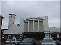
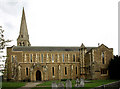
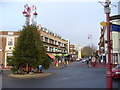
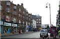
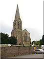
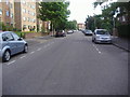
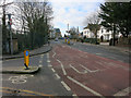
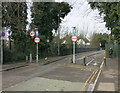
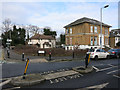
100 photos from this area
Area Information
Key information about the KT6 6HT including its size, population, and administrative classification.
- Area Type
- Postcode
- Area Size
- 1.6 hectares
- Population
- 1727
- Population Density
- 10035 people/km²
House Prices in KT6 6HT
46
Properties
£505,264
Average Sold Price
£65,000
Lowest Price
£1,700,000
Highest Price
Showing 46 properties
| Address | Type | Beds | Baths | Last Sale Price | Last Sale Date | |
|---|---|---|---|---|---|---|
| 6A South Terrace, Surbiton, KT6 6HT | Flat | 2 | 2 | £771,360 | Nov 2025 | |
| 37 South Terrace, Surbiton, KT6 6HT | Maisonette | - | - | £465,000 | Mar 2024 | |
| 3 South Terrace, Surbiton, KT6 6HT | Flat | - | - | £1,700,000 | Aug 2023 | |
| 1 South Terrace, Surbiton, KT6 6HT | Detached | 5 | 2 | £1,545,000 | Sep 2022 | |
| 18 South Terrace, Surbiton, KT6 6HT | Flat | 2 | 1 | £450,000 | Jun 2022 | |
| 6B South Terrace, Surbiton, KT6 6HT | Flat | 2 | 1 | £417,500 | Feb 2022 | |
| 6E South Terrace, Surbiton, KT6 6HT | Flat | 1 | 1 | £266,500 | Nov 2021 | |
| 43 South Terrace, Surbiton, KT6 6HT | Maisonette | 2 | 1 | £499,950 | Nov 2021 | |
| 47 South Terrace, Surbiton, KT6 6HT | Maisonette | 2 | 1 | £420,000 | Jan 2020 | |
| 6C South Terrace, Surbiton, KT6 6HT | Flat | 4 | 2 | £400,000 | Feb 2019 |
Page 1 of 5
Energy Efficiency in KT6 6HT
Amenities
Schools
| Rank | School | Type | Entry gender | Ages |
|---|
Explore more schools in this area
Go to Schools tabDemographics
Household Size
One person
most common
Accommodation Type
Flats
most common
Tenure
34
majority
Ethnic Group
White
most common
Religion
N/A
most common
Household Composition
N/A
most common
Age
47
median
Adults (30-64 years)
most common
Household Deprivation
N/A
with no deprivation
NS-SEC
48
in Lower managerial occupations
Explore more demographic insights in this area
Go to Demographics tabPlanning
Planning Constraints
- Flood RiskPremium
- Ramsar Wetland SitesPremium
- Area of Outstanding Natural BeautyPremium
- Protected Nature ReservePremium
- Protected WoodlandPremium