Area Overview for KT6 5PR
Photos of KT6 5PR
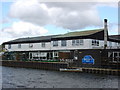
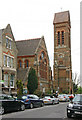
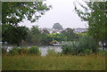
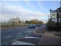

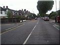
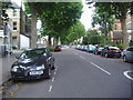
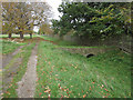
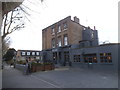
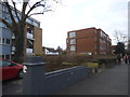
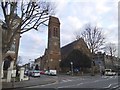
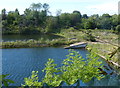
100 photos from this area
Area Information
Key information about the KT6 5PR including its size, population, and administrative classification.
- Area Type
- Postcode
- Area Size
- 6634 m²
- Population
- 1678
- Population Density
- 5882 people/km²
House Prices in KT6 5PR
23
Properties
£522,045
Average Sold Price
£192,000
Lowest Price
£865,000
Highest Price
Showing 23 properties
| Address | Type | Beds | Baths | Last Sale Price | Last Sale Date | |
|---|---|---|---|---|---|---|
| 130 Brighton Road, Surbiton, KT6 5PR | Semi-detached | 2 | 1 | £725,000 | May 2024 | |
| 112 Brighton Road, Surbiton, KT6 5PR | Terraced | 3 | 1 | £726,500 | Jul 2021 | |
| 138 Brighton Road, Surbiton, KT6 5PR | house | 2 | 1 | £865,000 | Feb 2021 | |
| 132 Brighton Road, Surbiton, KT6 5PR | house | - | - | £636,950 | Aug 2017 | |
| 114 Brighton Road, Surbiton, KT6 5PR | house | 3 | 1 | £735,000 | Sep 2016 | |
| 126 Brighton Road, Surbiton, KT6 5PR | Semi-detached | - | - | £315,000 | Jun 2009 | |
| 118 Brighton Road, Surbiton, KT6 5PR | house | - | - | £350,000 | May 2009 | |
| 136 Brighton Road, Surbiton, KT6 5PR | house | - | - | £400,000 | Feb 2007 | |
| 124 Brighton Road, Surbiton, KT6 5PR | house | 3 | - | £275,000 | Oct 2005 | |
| 108 Brighton Road, Surbiton, KT6 5PR | Semi-detached | 3 | 1 | £192,000 | Oct 2001 |
Page 1 of 3
Energy Efficiency in KT6 5PR
Amenities
Schools
| Rank | School | Type | Entry gender | Ages |
|---|
Explore more schools in this area
Go to Schools tabDemographics
Household Size
One person
most common
Accommodation Type
Flats
most common
Tenure
56
majority
Ethnic Group
White
most common
Religion
N/A
most common
Household Composition
N/A
most common
Age
47
median
Adults (30-64 years)
most common
Household Deprivation
N/A
with no deprivation
NS-SEC
42
in Lower managerial occupations
Explore more demographic insights in this area
Go to Demographics tabPlanning
Planning Constraints
- Flood RiskPremium
- Ramsar Wetland SitesPremium
- Area of Outstanding Natural BeautyPremium
- Protected Nature ReservePremium
- Protected WoodlandPremium