Area Overview for KT6 4HB
Photos of KT6 4HB
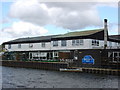
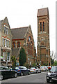
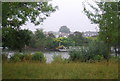
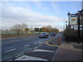

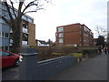
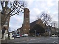
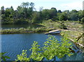
100 photos from this area
Area Information
Key information about the KT6 4HB including its size, population, and administrative classification.
- Area Type
- Postcode
- Area Size
- 1135 m²
- Population
- 1860
- Population Density
- 9437 people/km²
House Prices in KT6 4HB
9
Properties
£387,143
Average Sold Price
£230,000
Lowest Price
£530,000
Highest Price
Showing 9 properties
| Address | Type | Beds | Baths | Last Sale Price | Last Sale Date | |
|---|---|---|---|---|---|---|
| 3, Belvedere Court, Catherine Road, Surbiton, KT6 4HB | Flat | 2 | 1 | £475,000 | Sep 2025 | |
| 1, Belvedere Court, Catherine Road, Surbiton, KT6 4HB | Flat | 2 | 1 | £383,500 | Jul 2025 | |
| 4, Belvedere Court, Catherine Road, Surbiton, KT6 4HB | Flat | 3 | 2 | £530,000 | Dec 2024 | |
| 9, Belvedere Court, Catherine Road, Surbiton, KT6 4HB | Flat | - | - | £381,500 | Dec 2021 | |
| 8, Belvedere Court, Catherine Road, Surbiton, KT6 4HB | Maisonette | 2 | - | £360,000 | Nov 2013 | |
| 6, Belvedere Court, Catherine Road, Surbiton, KT6 4HB | Flat | - | - | £350,000 | Aug 2013 | |
| 2, Belvedere Court, Catherine Road, Surbiton, KT6 4HB | Flat | - | - | £230,000 | Aug 2009 | |
| 7, Belvedere Court, Catherine Road, Surbiton, KT6 4HB | Flat | 2 | 1 | - | - | |
| 5, Belvedere Court, Catherine Road, Surbiton, KT6 4HB | Flat | - | - | - | - |
Energy Efficiency in KT6 4HB
Amenities
Schools
| Rank | School | Type | Entry gender | Ages |
|---|
Explore more schools in this area
Go to Schools tabDemographics
Household Size
One person
most common
Accommodation Type
Flats
most common
Tenure
52
majority
Ethnic Group
White
most common
Religion
N/A
most common
Household Composition
N/A
most common
Age
47
median
Adults (30-64 years)
most common
Household Deprivation
N/A
with no deprivation
NS-SEC
60
in Lower managerial occupations
Explore more demographic insights in this area
Go to Demographics tabPlanning
Planning Constraints
- Flood RiskPremium
- Ramsar Wetland SitesPremium
- Area of Outstanding Natural BeautyPremium
- Protected Nature ReservePremium
- Protected WoodlandPremium