Area Overview for KT6 4EL
Photos of KT6 4EL
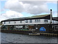
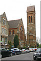
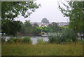
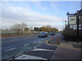

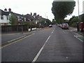
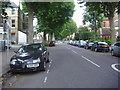
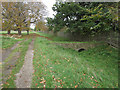
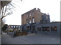
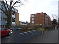
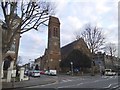
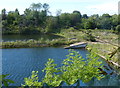
100 photos from this area
Area Information
Key information about the KT6 4EL including its size, population, and administrative classification.
- Area Type
- Postcode
- Area Size
- 7410 m²
- Population
- 1900
- Population Density
- 12541 people/km²
House Prices in KT6 4EL
44
Properties
£580,491
Average Sold Price
£146,000
Lowest Price
£1,000,000
Highest Price
Showing 44 properties
| Address | Type | Beds | Baths | Last Sale Price | Last Sale Date | |
|---|---|---|---|---|---|---|
| 18 Westfield Road, Surbiton, KT6 4EL | Terraced | 2 | 1 | £865,201 | Oct 2025 | |
| 13 Westfield Road, Surbiton, KT6 4EL | Semi-detached | - | - | £220,000 | Dec 2024 | |
| 14 Westfield Road, Surbiton, KT6 4EL | Terraced | 3 | 2 | £693,500 | Nov 2024 | |
| 39 Westfield Road, Surbiton, KT6 4EL | Terraced | 2 | 1 | £852,000 | Nov 2024 | |
| 32 Westfield Road, Surbiton, KT6 4EL | Terraced | 2 | 1 | £710,000 | Sep 2024 | |
| 20 Westfield Road, Surbiton, KT6 4EL | Terraced | 2 | 1 | £925,000 | Jun 2024 | |
| 10 Westfield Road, Surbiton, KT6 4EL | Semi-detached | 2 | 1 | £915,000 | Feb 2024 | |
| 3 Westfield Road, Surbiton, KT6 4EL | Terraced | 4 | 2 | £1,000,000 | Dec 2023 | |
| 15 Westfield Road, Surbiton, KT6 4EL | Terraced | 2 | 1 | £674,000 | Dec 2023 | |
| 12 Westfield Road, Surbiton, KT6 4EL | Semi-detached | 2 | 1 | £670,000 | Jun 2023 |
Page 1 of 5
Energy Efficiency in KT6 4EL
Amenities
Schools
| Rank | School | Type | Entry gender | Ages |
|---|
Explore more schools in this area
Go to Schools tabDemographics
Household Size
Two person
most common
Accommodation Type
Flats
most common
Tenure
58
majority
Ethnic Group
White
most common
Religion
N/A
most common
Household Composition
N/A
most common
Age
47
median
Adults (30-64 years)
most common
Household Deprivation
N/A
with no deprivation
NS-SEC
66
in Lower managerial occupations
Explore more demographic insights in this area
Go to Demographics tabPlanning
Planning Constraints
- Flood RiskPremium
- Ramsar Wetland SitesPremium
- Area of Outstanding Natural BeautyPremium
- Protected Nature ReservePremium
- Protected WoodlandPremium