Area Overview for KT5 9PS
Photos of KT5 9PS
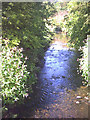
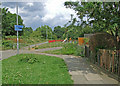
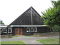
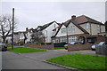
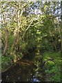
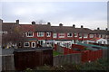
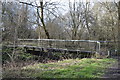
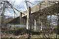
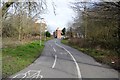
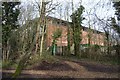
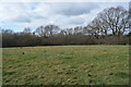
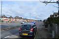
62 photos from this area
Area Information
Key information about the KT5 9PS including its size, population, and administrative classification.
- Area Type
- Postcode
- Area Size
- 8922 m²
- Population
- 1394
- Population Density
- 4759 people/km²
House Prices in KT5 9PS
16
Properties
£279,645
Average Sold Price
£98,000
Lowest Price
£580,000
Highest Price
Showing 16 properties
| Address | Type | Beds | Baths | Last Sale Price | Last Sale Date | |
|---|---|---|---|---|---|---|
| 14 Grenville Close, Tolworth, KT5 9PS | Semi-detached | 3 | 1 | £485,000 | Apr 2020 | |
| 1 Grenville Close, Tolworth, KT5 9PS | Detached | 3 | 1 | £495,000 | Feb 2020 | |
| 11 Grenville Close, Tolworth, KT5 9PS | Detached | 3 | 2 | £580,000 | Nov 2018 | |
| 18 Grenville Close, Tolworth, KT5 9PS | Semi-detached | 3 | - | £367,500 | Feb 2014 | |
| 6 Grenville Close, Tolworth, KT5 9PS | Detached | - | - | £290,000 | Nov 2003 | |
| 8 Grenville Close, Tolworth, KT5 9PS | Semi-detached | - | - | £280,000 | Jun 2003 | |
| 7 Grenville Close, Tolworth, KT5 9PS | Semi-detached | - | - | £128,500 | Jan 1998 | |
| 20 Grenville Close, Tolworth, KT5 9PS | Semi-detached | - | - | £139,600 | Sep 1997 | |
| 16 Grenville Close, Tolworth, KT5 9PS | house | 3 | - | £108,000 | Sep 1997 | |
| 9 Grenville Close, Tolworth, KT5 9PS | Semi-detached | - | - | £104,500 | Jan 1997 |
Page 1 of 2
Energy Efficiency in KT5 9PS
Amenities
Schools
| Rank | School | Type | Entry gender | Ages |
|---|
Explore more schools in this area
Go to Schools tabDemographics
Household Size
Family (3-5 people)
most common
Accommodation Type
Houses
most common
Tenure
85
majority
Ethnic Group
White
most common
Religion
N/A
most common
Household Composition
N/A
most common
Age
47
median
Adults (30-64 years)
most common
Household Deprivation
N/A
with no deprivation
NS-SEC
37
in Lower managerial occupations
Explore more demographic insights in this area
Go to Demographics tabPlanning
Planning Constraints
- Flood RiskPremium
- Ramsar Wetland SitesPremium
- Area of Outstanding Natural BeautyPremium
- Protected Nature ReservePremium
- Protected WoodlandPremium