Area Overview for KT5 9LJ
Photos of KT5 9LJ
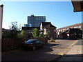
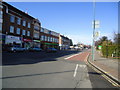
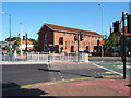
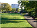
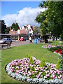
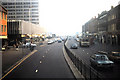
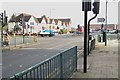
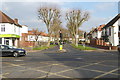
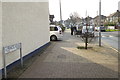

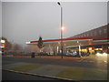
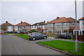
82 photos from this area
Area Information
Key information about the KT5 9LJ including its size, population, and administrative classification.
- Area Type
- Postcode
- Area Size
- 1.7 hectares
- Population
- 1478
- Population Density
- 3361 people/km²
House Prices in KT5 9LJ
33
Properties
£504,025
Average Sold Price
£167,000
Lowest Price
£850,000
Highest Price
Showing 33 properties
| Address | Type | Beds | Baths | Last Sale Price | Last Sale Date | |
|---|---|---|---|---|---|---|
| 20 Beresford Avenue, Tolworth, KT5 9LJ | Retail | 3 | 1 | £710,000 | Jan 2022 | |
| 50 Beresford Avenue, Tolworth, KT5 9LJ | house | - | - | £675,000 | Aug 2021 | |
| 4 Beresford Avenue, Tolworth, KT5 9LJ | Semi-detached | 3 | 2 | £660,000 | Mar 2021 | |
| 16 Beresford Avenue, Tolworth, KT5 9LJ | house | - | - | £675,000 | Feb 2021 | |
| 62 Beresford Avenue, Tolworth, KT5 9LJ | Semi-detached | 3 | 1 | £615,000 | Dec 2020 | |
| 34 Beresford Avenue, Tolworth, KT5 9LJ | house | - | - | £700,000 | Nov 2020 | |
| 8 Beresford Avenue, Tolworth, KT5 9LJ | Semi-detached | 4 | 2 | £850,000 | Feb 2020 | |
| 38 Beresford Avenue, Tolworth, KT5 9LJ | Semi-detached | 3 | 2 | £590,000 | Jun 2017 | |
| 24 Beresford Avenue, Tolworth, KT5 9LJ | Semi-detached | 3 | - | £575,000 | Jan 2017 | |
| 12 Beresford Avenue, Tolworth, KT5 9LJ | Semi-detached | 3 | 2 | £650,000 | Dec 2016 |
Page 1 of 4
Energy Efficiency in KT5 9LJ
Amenities
Schools
| Rank | School | Type | Entry gender | Ages |
|---|
Explore more schools in this area
Go to Schools tabDemographics
Household Size
Family (3-5 people)
most common
Accommodation Type
Houses
most common
Tenure
85
majority
Ethnic Group
White
most common
Religion
N/A
most common
Household Composition
N/A
most common
Age
47
median
Adults (30-64 years)
most common
Household Deprivation
N/A
with no deprivation
NS-SEC
45
in Lower managerial occupations
Explore more demographic insights in this area
Go to Demographics tabPlanning
Planning Constraints
- Flood RiskPremium
- Ramsar Wetland SitesPremium
- Area of Outstanding Natural BeautyPremium
- Protected Nature ReservePremium
- Protected WoodlandPremium