Area Overview for KT5 8JG
Photos of KT5 8JG
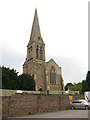
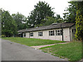
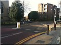
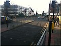
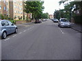
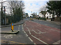
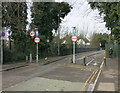
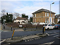
100 photos from this area
Area Information
Key information about the KT5 8JG including its size, population, and administrative classification.
- Area Type
- Postcode
- Area Size
- 7481 m²
- Population
- 1571
- Population Density
- 6792 people/km²
House Prices in KT5 8JG
51
Properties
£426,050
Average Sold Price
£44,500
Lowest Price
£1,850,000
Highest Price
Showing 51 properties
| Address | Type | Beds | Baths | Last Sale Price | Last Sale Date | |
|---|---|---|---|---|---|---|
| 30D The Avenue, Surbiton, KT5 8JG | Flat | - | - | £309,100 | Nov 2022 | |
| 30C The Avenue, Surbiton, KT5 8JG | Flat | - | 1 | £247,000 | Oct 2016 | |
| 28 The Avenue, Surbiton, KT5 8JG | Semi-detached | 5 | - | £1,850,000 | Aug 2016 | |
| 34 The Avenue, Surbiton, KT5 8JG | house | - | - | £650,000 | Jan 2014 | |
| 30F The Avenue, Surbiton, KT5 8JG | Semi-detached | 4 | 1 | £145,000 | Jan 2008 | |
| 30B The Avenue, Surbiton, KT5 8JG | Flat | 1 | 1 | £142,000 | Mar 2006 | |
| 46 The Avenue, Surbiton, KT5 8JG | Terraced | - | - | £395,000 | Jun 2005 | |
| 38 The Avenue, Surbiton, KT5 8JG | Terraced | - | - | £365,000 | Nov 2004 | |
| 40 The Avenue, Surbiton, KT5 8JG | Terraced | - | - | £270,000 | Apr 2002 | |
| 44 The Avenue, Surbiton, KT5 8JG | Terraced | - | - | £275,000 | Jul 2001 |
Page 1 of 6
Energy Efficiency in KT5 8JG
Amenities
Schools
| Rank | School | Type | Entry gender | Ages |
|---|
Explore more schools in this area
Go to Schools tabDemographics
Household Size
One person
most common
Accommodation Type
Flats
most common
Tenure
54
majority
Ethnic Group
White
most common
Religion
N/A
most common
Household Composition
N/A
most common
Age
47
median
Adults (30-64 years)
most common
Household Deprivation
N/A
with no deprivation
NS-SEC
55
in Lower managerial occupations
Explore more demographic insights in this area
Go to Demographics tabPlanning
Planning Constraints
- Flood RiskPremium
- Ramsar Wetland SitesPremium
- Area of Outstanding Natural BeautyPremium
- Protected Nature ReservePremium
- Protected WoodlandPremium