Area Overview for KT5 8DL
Photos of KT5 8DL

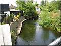
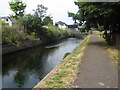
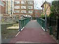
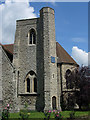
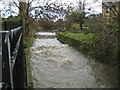
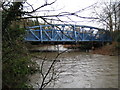
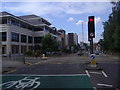
100 photos from this area
Area Information
Key information about the KT5 8DL including its size, population, and administrative classification.
- Area Type
- Postcode
- Area Size
- 6427 m²
- Population
- 1568
- Population Density
- 4752 people/km²
House Prices in KT5 8DL
35
Properties
£289,565
Average Sold Price
£114,500
Lowest Price
£596,000
Highest Price
Showing 35 properties
| Address | Type | Beds | Baths | Last Sale Price | Last Sale Date | |
|---|---|---|---|---|---|---|
| 21 Villiers Close, Surbiton, KT5 8DL | Maisonette | 2 | 1 | £350,000 | Sep 2024 | |
| 24 Villiers Close, Surbiton, KT5 8DL | Maisonette | 2 | 1 | £350,000 | Apr 2023 | |
| 28 Villiers Close, Surbiton, KT5 8DL | house | - | - | £560,000 | May 2021 | |
| 27 Villiers Close, Surbiton, KT5 8DL | Semi-detached | 4 | 1 | £596,000 | Apr 2021 | |
| 13 Villiers Close, Surbiton, KT5 8DL | Flat | 2 | 1 | £345,000 | Feb 2021 | |
| 12 Villiers Close, Surbiton, KT5 8DL | Maisonette | - | - | £315,000 | Oct 2020 | |
| 20 Villiers Close, Surbiton, KT5 8DL | Maisonette | - | - | £320,000 | Sep 2020 | |
| 7 Villiers Close, Surbiton, KT5 8DL | Maisonette | 2 | 1 | £322,500 | Jul 2020 | |
| 25 Villiers Close, Surbiton, KT5 8DL | Semi-detached | 3 | 1 | £525,000 | Dec 2018 | |
| 3 Villiers Close, Surbiton, KT5 8DL | Flat | 2 | - | £160,000 | Aug 2018 |
Page 1 of 4
Energy Efficiency in KT5 8DL
Amenities
Schools
| Rank | School | Type | Entry gender | Ages |
|---|
Explore more schools in this area
Go to Schools tabDemographics
Household Size
Family (3-5 people)
most common
Accommodation Type
Houses
most common
Tenure
61
majority
Ethnic Group
White
most common
Religion
N/A
most common
Household Composition
N/A
most common
Age
22
median
Young Adults (15-29 years)
most common
Household Deprivation
N/A
with no deprivation
NS-SEC
32
in Lower managerial occupations
Explore more demographic insights in this area
Go to Demographics tabPlanning
Planning Constraints
- Flood RiskPremium
- Ramsar Wetland SitesPremium
- Area of Outstanding Natural BeautyPremium
- Protected Nature ReservePremium
- Protected WoodlandPremium