Area Overview for KT4 8AX
Photos of KT4 8AX
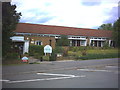
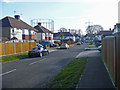
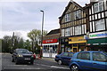
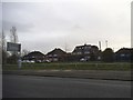
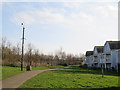
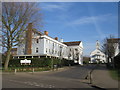
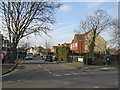
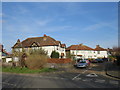
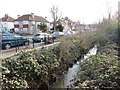
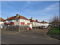
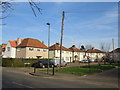
46 photos from this area
Area Information
Key information about the KT4 8AX including its size, population, and administrative classification.
- Area Type
- Postcode
- Area Size
- 7770 m²
- Population
- 1864
- Population Density
- 4777 people/km²
House Prices in KT4 8AX
34
Properties
£321,222
Average Sold Price
£79,000
Lowest Price
£550,000
Highest Price
Showing 34 properties
| Address | Type | Beds | Baths | Last Sale Price | Last Sale Date | |
|---|---|---|---|---|---|---|
| 52 Browning Avenue, Worcester Park, KT4 8AX | Terraced | 3 | 1 | £550,000 | Mar 2022 | |
| 50 Browning Avenue, Worcester Park, KT4 8AX | Terraced | 3 | 1 | £400,000 | Apr 2021 | |
| 75 Browning Avenue, Worcester Park, KT4 8AX | Terraced | 3 | - | £375,000 | Feb 2020 | |
| 89 Browning Avenue, Worcester Park, KT4 8AX | Terraced | 3 | 2 | £387,000 | Mar 2018 | |
| 42 Browning Avenue, Worcester Park, KT4 8AX | Terraced | 4 | 2 | £360,000 | Nov 2017 | |
| 73 Browning Avenue, Worcester Park, KT4 8AX | Terraced | 3 | 2 | £250,000 | Nov 2011 | |
| 46 Browning Avenue, Worcester Park, KT4 8AX | Terraced | 2 | 1 | £240,000 | Sep 2008 | |
| 67 Browning Avenue, Worcester Park, KT4 8AX | Terraced | 3 | - | £250,000 | Jan 2008 | |
| 40 Browning Avenue, Worcester Park, KT4 8AX | Terraced | - | - | £79,000 | Jun 1998 | |
| 93 Browning Avenue, Worcester Park, KT4 8AX | Terraced | 3 | 1 | - | - |
Page 1 of 4
Energy Efficiency in KT4 8AX
Amenities
Schools
| Rank | School | Type | Entry gender | Ages |
|---|
Explore more schools in this area
Go to Schools tabDemographics
Household Size
Family (3-5 people)
most common
Accommodation Type
Houses
most common
Tenure
70
majority
Ethnic Group
White
most common
Religion
N/A
most common
Household Composition
N/A
most common
Age
47
median
Adults (30-64 years)
most common
Household Deprivation
N/A
with no deprivation
NS-SEC
44
in Lower managerial occupations
Explore more demographic insights in this area
Go to Demographics tabPlanning
Planning Constraints
- Flood RiskPremium
- Ramsar Wetland SitesPremium
- Area of Outstanding Natural BeautyPremium
- Protected Nature ReservePremium
- Protected WoodlandPremium