Area Overview for KT4 7EL
Photos of KT4 7EL
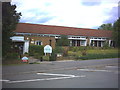
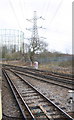
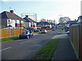
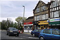
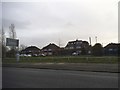
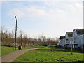
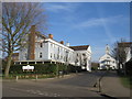
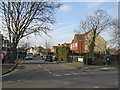
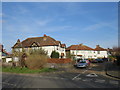
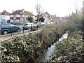
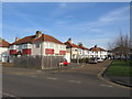
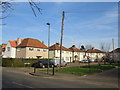
46 photos from this area
Area Information
Key information about the KT4 7EL including its size, population, and administrative classification.
- Area Type
- Postcode
- Area Size
- 2655 m²
- Population
- 1857
- Population Density
- 5105 people/km²
House Prices in KT4 7EL
36
Properties
£199,745
Average Sold Price
£53,000
Lowest Price
£330,000
Highest Price
Showing 36 properties
| Address | Type | Beds | Baths | Last Sale Price | Last Sale Date | |
|---|---|---|---|---|---|---|
| 31, Briarwood Court, The Avenue, Worcester Park, KT4 7EL | Flat | - | - | £310,000 | Mar 2025 | |
| 25, Briarwood Court, The Avenue, Worcester Park, KT4 7EL | Flat | 1 | - | £280,000 | Nov 2024 | |
| 16, Briarwood Court, The Avenue, Worcester Park, KT4 7EL | Flat | - | - | £240,000 | Oct 2024 | |
| 7, Briarwood Court, The Avenue, Worcester Park, KT4 7EL | Flat | 2 | 1 | £324,950 | Mar 2023 | |
| 9, Briarwood Court, The Avenue, Worcester Park, KT4 7EL | Flat | 1 | - | £265,000 | Nov 2021 | |
| 4, Briarwood Court, The Avenue, Worcester Park, KT4 7EL | Flat | - | - | £330,000 | Feb 2021 | |
| 2, Briarwood Court, The Avenue, Worcester Park, KT4 7EL | Flat | - | - | £250,000 | Mar 2020 | |
| 6, Briarwood Court, The Avenue, Worcester Park, KT4 7EL | Flat | - | - | £180,000 | Jun 2019 | |
| 1, Briarwood Court, The Avenue, Worcester Park, KT4 7EL | Flat | - | - | £330,000 | Dec 2017 | |
| 17, Briarwood Court, The Avenue, Worcester Park, KT4 7EL | Flat | - | - | £266,000 | Dec 2015 |
Page 1 of 4
Energy Efficiency in KT4 7EL
Amenities
Schools
| Rank | School | Type | Entry gender | Ages |
|---|
Explore more schools in this area
Go to Schools tabDemographics
Household Size
Family (3-5 people)
most common
Accommodation Type
Houses
most common
Tenure
76
majority
Ethnic Group
White
most common
Religion
N/A
most common
Household Composition
N/A
most common
Age
47
median
Adults (30-64 years)
most common
Household Deprivation
N/A
with no deprivation
NS-SEC
47
in Lower managerial occupations
Explore more demographic insights in this area
Go to Demographics tabPlanning
Planning Constraints
- Flood RiskPremium
- Ramsar Wetland SitesPremium
- Area of Outstanding Natural BeautyPremium
- Protected Nature ReservePremium
- Protected WoodlandPremium