Area Overview for KT3 6NB
Photos of KT3 6NB
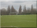
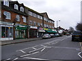
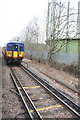
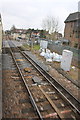
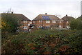
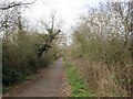
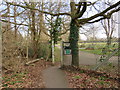
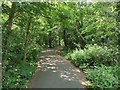
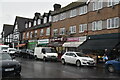
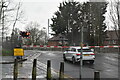
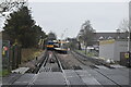
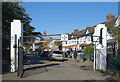
62 photos from this area
Area Information
Key information about the KT3 6NB including its size, population, and administrative classification.
- Area Type
- Postcode
- Area Size
- 1.3 hectares
- Population
- 1998
- Population Density
- 7845 people/km²
House Prices in KT3 6NB
58
Properties
£236,453
Average Sold Price
£2,000
Lowest Price
£548,000
Highest Price
Showing 58 properties
| Address | Type | Beds | Baths | Last Sale Price | Last Sale Date | |
|---|---|---|---|---|---|---|
| 320A West Barnes Lane, New Malden, KT3 6NB | Maisonette | 3 | 2 | £364,250 | Dec 2025 | |
| 350A West Barnes Lane, New Malden, KT3 6NB | Flat | - | - | £280,000 | Aug 2021 | |
| 298 West Barnes Lane, New Malden, KT3 6NB | Terraced | 3 | 1 | £548,000 | Jun 2021 | |
| 352A West Barnes Lane, New Malden, KT3 6NB | Flat | - | - | £2,000 | Jul 2015 | |
| 336A West Barnes Lane, New Malden, KT3 6NB | Maisonette | 3 | 1 | £249,000 | Jun 2014 | |
| 306 West Barnes Lane, New Malden, KT3 6NB | house | - | - | £347,000 | Sep 2012 | |
| 332A West Barnes Lane, New Malden, KT3 6NB | Flat | - | - | £275,000 | Oct 2011 | |
| 304 West Barnes Lane, New Malden, KT3 6NB | Terraced | - | - | £310,000 | Sep 2009 | |
| 344A West Barnes Lane, New Malden, KT3 6NB | Flat | 1 | 1 | £260,000 | Apr 2007 | |
| 330A West Barnes Lane, New Malden, KT3 6NB | Maisonette | - | - | £167,500 | Aug 2006 |
Page 1 of 6
Energy Efficiency in KT3 6NB
Amenities
Schools
| Rank | School | Type | Entry gender | Ages |
|---|
Explore more schools in this area
Go to Schools tabDemographics
Household Size
Family (3-5 people)
most common
Accommodation Type
Houses
most common
Tenure
67
majority
Ethnic Group
White
most common
Religion
N/A
most common
Household Composition
N/A
most common
Age
47
median
Adults (30-64 years)
most common
Household Deprivation
N/A
with no deprivation
NS-SEC
38
in Lower managerial occupations
Explore more demographic insights in this area
Go to Demographics tabPlanning
Planning Constraints
- Flood RiskPremium
- Ramsar Wetland SitesPremium
- Area of Outstanding Natural BeautyPremium
- Protected Nature ReservePremium
- Protected WoodlandPremium