Area Overview for KT3 5DB
Photos of KT3 5DB
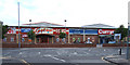
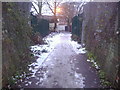
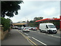
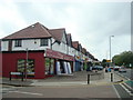
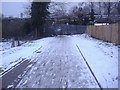
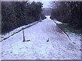
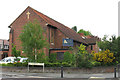
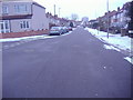
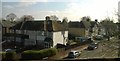
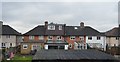
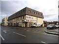
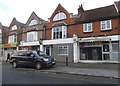
52 photos from this area
Area Information
Key information about the KT3 5DB including its size, population, and administrative classification.
- Area Type
- Postcode
- Area Size
- 1.3 hectares
- Population
- 1681
- Population Density
- 7617 people/km²
House Prices in KT3 5DB
43
Properties
£383,395
Average Sold Price
£93,500
Lowest Price
£750,000
Highest Price
Showing 43 properties
| Address | Type | Beds | Baths | Last Sale Price | Last Sale Date | |
|---|---|---|---|---|---|---|
| 74 Franks Avenue, New Malden, KT3 5DB | Detached | 4 | 1 | £703,000 | Mar 2025 | |
| 76 Franks Avenue, New Malden, KT3 5DB | Terraced | 3 | 2 | £580,000 | May 2024 | |
| 44 Franks Avenue, New Malden, KT3 5DB | Terraced | 4 | 1 | £611,000 | Jan 2024 | |
| 54 Franks Avenue, New Malden, KT3 5DB | house | 3 | - | £670,000 | Oct 2022 | |
| 60 Franks Avenue, New Malden, KT3 5DB | house | 3 | 1 | £655,000 | Jun 2021 | |
| 46 Franks Avenue, New Malden, KT3 5DB | Terraced | 4 | - | £615,000 | Mar 2021 | |
| 70 Franks Avenue, New Malden, KT3 5DB | Semi-detached | 6 | 4 | £750,000 | Nov 2020 | |
| 24 Franks Avenue, New Malden, KT3 5DB | Terraced | 3 | 1 | £440,000 | Mar 2019 | |
| 66 Franks Avenue, New Malden, KT3 5DB | Semi-detached | 3 | 1 | £617,500 | Sep 2016 | |
| 72 Franks Avenue, New Malden, KT3 5DB | house | 3 | 1 | £495,000 | Dec 2015 |
Page 1 of 5
Energy Efficiency in KT3 5DB
Amenities
Schools
| Rank | School | Type | Entry gender | Ages |
|---|
Explore more schools in this area
Go to Schools tabDemographics
Household Size
Family (3-5 people)
most common
Accommodation Type
Houses
most common
Tenure
71
majority
Ethnic Group
White
most common
Religion
N/A
most common
Household Composition
N/A
most common
Age
47
median
Adults (30-64 years)
most common
Household Deprivation
N/A
with no deprivation
NS-SEC
41
in Lower managerial occupations
Explore more demographic insights in this area
Go to Demographics tabPlanning
Planning Constraints
- Flood RiskPremium
- Ramsar Wetland SitesPremium
- Area of Outstanding Natural BeautyPremium
- Protected Nature ReservePremium
- Protected WoodlandPremium