Area Overview for KT3 4RY
Photos of KT3 4RY
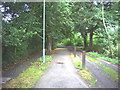
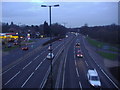
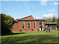
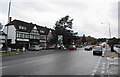
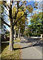
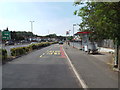
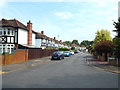
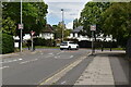
60 photos from this area
Area Information
Key information about the KT3 4RY including its size, population, and administrative classification.
- Area Type
- Postcode
- Area Size
- 1.3 hectares
- Population
- 1333
- Population Density
- 1140 people/km²
House Prices in KT3 4RY
12
Properties
£1,605,000
Average Sold Price
£460,000
Lowest Price
£2,700,000
Highest Price
Showing 12 properties
| Address | Type | Beds | Baths | Last Sale Price | Last Sale Date | |
|---|---|---|---|---|---|---|
| Ashcliffe, Traps Lane, New Malden, KT3 4RY | Detached | 4 | 3 | £2,700,000 | Oct 2022 | |
| Grey Gable, Traps Lane, New Malden, KT3 4RY | house | - | - | £2,050,000 | Jul 2019 | |
| Kenley House, Traps Lane, New Malden, KT3 4RY | Detached | 4 | 3 | £2,365,000 | Nov 2017 | |
| Cintra, Traps Lane, New Malden, KT3 4RY | house | - | - | £1,500,000 | Nov 2015 | |
| High Leigh, Traps Lane, New Malden, KT3 4RY | Detached | - | - | £460,000 | Aug 1997 | |
| Laburnum, Traps Lane, New Malden, KT3 4RY | Detached | - | - | £555,000 | Jun 1997 | |
| Linksview, Traps Lane, New Malden, KT3 4RY | Detached | 4 | 3 | - | - | |
| Red Roofs, Traps Lane, New Malden, KT3 4RY | Detached | 5 | 4 | - | - | |
| Former Flat 2 Gatesford Lodge, Traps Lane, New Malden, KT3 4RY | Detached | 4 | 2 | - | - | |
| Flat 1, Gatesford Lodge, Traps Lane, New Malden, KT3 4RY | Flat | - | - | - | - |
Page 1 of 2
Energy Efficiency in KT3 4RY
Amenities
Schools
| Rank | School | Type | Entry gender | Ages |
|---|
Explore more schools in this area
Go to Schools tabDemographics
Household Size
Family (3-5 people)
most common
Accommodation Type
Houses
most common
Tenure
75
majority
Ethnic Group
White
most common
Religion
N/A
most common
Household Composition
N/A
most common
Age
47
median
Adults (30-64 years)
most common
Household Deprivation
N/A
with no deprivation
NS-SEC
50
in Lower managerial occupations
Explore more demographic insights in this area
Go to Demographics tabPlanning
Planning Constraints
- Flood RiskPremium
- Ramsar Wetland SitesPremium
- Area of Outstanding Natural BeautyPremium
- Protected Nature ReservePremium
- Protected WoodlandPremium