Area Overview for KT2 6QL
Photos of KT2 6QL
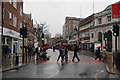
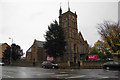
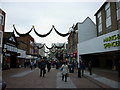
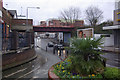
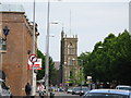
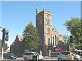
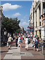
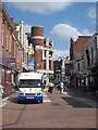
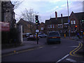
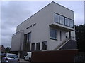
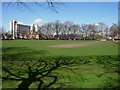
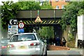
100 photos from this area
Area Information
Key information about the KT2 6QL including its size, population, and administrative classification.
- Area Type
- Postcode
- Area Size
- 7983 m²
- Population
- 2050
- Population Density
- 12246 people/km²
House Prices in KT2 6QL
7
Properties
-
Average Sold Price
-
Lowest Price
-
Highest Price
Showing 7 properties
| Address | Type | Beds | Baths | Last Sale Price | Last Sale Date | |
|---|---|---|---|---|---|---|
| Flat, St Peter's Church, London Road, Kingston Upon Thames, KT2 6QL | Flat | 2 | 1 | - | - | |
| 140B London Road, Kingston Upon Thames, KT2 6QL | Flat | 2 | 2 | - | - | |
| 140E London Road, Kingston Upon Thames, KT2 6QL | Flat | - | - | - | - | |
| 140C London Road, Kingston Upon Thames, KT2 6QL | Flat | - | - | - | - | |
| 140D London Road, Kingston Upon Thames, KT2 6QL | Flat | - | - | - | - | |
| Kingston Churches Action On Homelessness, Church Hall, St Peters Church, London Road, Kingston Upon Thames, KT2 6QL | community_day_centre | - | - | - | - | |
| Bp Pulse, Electric Vehicle Charging Point In Car Park, 142 London Road, Kingston Upon Thames, KT2 6QL | Retail | - | - | - | - |
Energy Efficiency in KT2 6QL
Amenities
Schools
| Rank | School | Type | Entry gender | Ages |
|---|
Explore more schools in this area
Go to Schools tabDemographics
Household Size
One person
most common
Accommodation Type
Flats
most common
Tenure
41
majority
Ethnic Group
White
most common
Religion
N/A
most common
Household Composition
N/A
most common
Age
47
median
Adults (30-64 years)
most common
Household Deprivation
N/A
with no deprivation
NS-SEC
43
in Lower managerial occupations
Explore more demographic insights in this area
Go to Demographics tabPlanning
Planning Constraints
- Flood RiskPremium
- Ramsar Wetland SitesPremium
- Area of Outstanding Natural BeautyPremium
- Protected Nature ReservePremium
- Protected WoodlandPremium