Area Overview for KT2 6DB
Photos of KT2 6DB
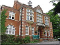
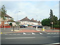
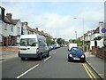
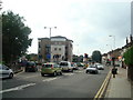
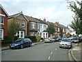
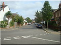
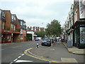
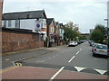
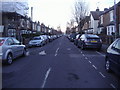
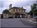
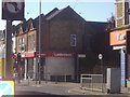
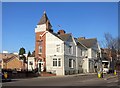
100 photos from this area
Area Information
Key information about the KT2 6DB including its size, population, and administrative classification.
- Area Type
- Postcode
- Area Size
- 2116 m²
- Population
- 1900
- Population Density
- 10215 people/km²
House Prices in KT2 6DB
17
Properties
£437,250
Average Sold Price
£115,000
Lowest Price
£845,000
Highest Price
Showing 17 properties
| Address | Type | Beds | Baths | Last Sale Price | Last Sale Date | |
|---|---|---|---|---|---|---|
| 47 Park Road, Kingston Upon Thames, KT2 6DB | Terraced | 3 | 1 | £650,000 | Aug 2025 | |
| 43 Park Road, Kingston Upon Thames, KT2 6DB | Maisonette | - | - | £480,000 | Aug 2023 | |
| 53 Park Road, Kingston Upon Thames, KT2 6DB | Retail | 3 | - | £845,000 | Oct 2022 | |
| 45 Park Road, Kingston Upon Thames, KT2 6DB | house | - | - | £555,000 | Apr 2021 | |
| 51 Park Road, Kingston Upon Thames, KT2 6DB | Terraced | 3 | 2 | £485,000 | Aug 2018 | |
| 55A Park Road, Kingston Upon Thames, KT2 6DB | Maisonette | 2 | 1 | £150,000 | Jul 2002 | |
| 49 Park Road, Kingston Upon Thames, KT2 6DB | house | 2 | 1 | £218,000 | Aug 2001 | |
| 61A Park Road, Kingston Upon Thames, KT2 6DB | house | - | - | £115,000 | Apr 1999 | |
| 43A Park Road, Kingston Upon Thames, KT2 6DB | Flat | 2 | 1 | - | - | |
| 53A Park Road, Kingston Upon Thames, KT2 6DB | house | 4 | - | - | - |
Page 1 of 2
Energy Efficiency in KT2 6DB
Amenities
Schools
| Rank | School | Type | Entry gender | Ages |
|---|
Explore more schools in this area
Go to Schools tabDemographics
Household Size
Family (3-5 people)
most common
Accommodation Type
Flats
most common
Tenure
48
majority
Ethnic Group
White
most common
Religion
N/A
most common
Household Composition
N/A
most common
Age
47
median
Adults (30-64 years)
most common
Household Deprivation
N/A
with no deprivation
NS-SEC
52
in Lower managerial occupations
Explore more demographic insights in this area
Go to Demographics tabPlanning
Planning Constraints
- Flood RiskPremium
- Ramsar Wetland SitesPremium
- Area of Outstanding Natural BeautyPremium
- Protected Nature ReservePremium
- Protected WoodlandPremium