Area Overview for KT2 5DR
Photos of KT2 5DR
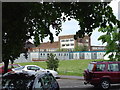

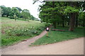
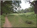
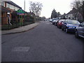
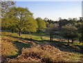

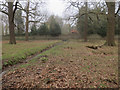
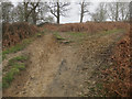
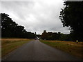

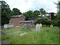
78 photos from this area
Area Information
Key information about the KT2 5DR including its size, population, and administrative classification.
- Area Type
- Postcode
- Area Size
- 1.1 hectares
- Population
- 1447
- Population Density
- 7195 people/km²
House Prices in KT2 5DR
42
Properties
£574,993
Average Sold Price
£97,000
Lowest Price
£1,120,000
Highest Price
Showing 42 properties
| Address | Type | Beds | Baths | Last Sale Price | Last Sale Date | |
|---|---|---|---|---|---|---|
| 99 Wolsey Drive, Kingston Upon Thames, KT2 5DR | Terraced | 3 | 2 | £990,000 | Nov 2025 | |
| 119 Wolsey Drive, Kingston Upon Thames, KT2 5DR | Terraced | 3 | 1 | £815,000 | Jun 2025 | |
| 169 Wolsey Drive, Kingston Upon Thames, KT2 5DR | Terraced | 3 | 1 | £740,000 | Dec 2024 | |
| 135 Wolsey Drive, Kingston Upon Thames, KT2 5DR | Terraced | 3 | 1 | £820,000 | Oct 2024 | |
| 171 Wolsey Drive, Kingston Upon Thames, KT2 5DR | Terraced | 4 | 3 | £1,120,000 | Mar 2023 | |
| 109 Wolsey Drive, Kingston Upon Thames, KT2 5DR | Terraced | 3 | 1 | £891,000 | Dec 2022 | |
| 105 Wolsey Drive, Kingston Upon Thames, KT2 5DR | Retail | 3 | 2 | £1,020,000 | Oct 2022 | |
| 151 Wolsey Drive, Kingston Upon Thames, KT2 5DR | house | 3 | - | £755,000 | Aug 2022 | |
| 107 Wolsey Drive, Kingston Upon Thames, KT2 5DR | Terraced | 3 | 1 | £713,000 | Feb 2021 | |
| 149 Wolsey Drive, Kingston Upon Thames, KT2 5DR | Terraced | 4 | 1 | £730,000 | Dec 2020 |
Page 1 of 5
Energy Efficiency in KT2 5DR
Amenities
Schools
| Rank | School | Type | Entry gender | Ages |
|---|
Explore more schools in this area
Go to Schools tabDemographics
Household Size
Family (3-5 people)
most common
Accommodation Type
Houses
most common
Tenure
88
majority
Ethnic Group
White
most common
Religion
N/A
most common
Household Composition
N/A
most common
Age
47
median
Adults (30-64 years)
most common
Household Deprivation
N/A
with no deprivation
NS-SEC
56
in Lower managerial occupations
Explore more demographic insights in this area
Go to Demographics tabPlanning
Planning Constraints
- Flood RiskPremium
- Ramsar Wetland SitesPremium
- Area of Outstanding Natural BeautyPremium
- Protected Nature ReservePremium
- Protected WoodlandPremium