Area Overview for KT1 2TW
Photos of KT1 2TW

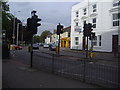
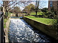
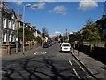
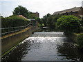
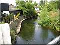
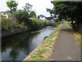
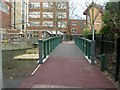
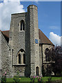
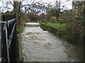
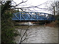
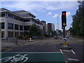
100 photos from this area
Area Information
Key information about the KT1 2TW including its size, population, and administrative classification.
- Area Type
- Postcode
- Area Size
- 1.4 hectares
- Population
- 1983
- Population Density
- 3931 people/km²
House Prices in KT1 2TW
31
Properties
£838,136
Average Sold Price
£219,000
Lowest Price
£1,530,000
Highest Price
Showing 31 properties
| Address | Type | Beds | Baths | Last Sale Price | Last Sale Date | |
|---|---|---|---|---|---|---|
| 24 Geneva Road, Kingston Upon Thames, KT1 2TW | Semi-detached | 5 | 3 | £1,450,000 | Jul 2024 | |
| 14 Geneva Road, Kingston Upon Thames, KT1 2TW | Semi-detached | 5 | 3 | £1,400,000 | Aug 2022 | |
| 5 Geneva Road, Kingston Upon Thames, KT1 2TW | Detached | 5 | - | £1,250,000 | Jan 2015 | |
| 15 Geneva Road, Kingston Upon Thames, KT1 2TW | Detached | 4 | 3 | £845,000 | Oct 2014 | |
| 7 Geneva Road, Kingston Upon Thames, KT1 2TW | Detached | 3 | - | £1,150,000 | Aug 2014 | |
| 5A Geneva Road, Kingston Upon Thames, KT1 2TW | house | 5 | - | £999,999 | May 2014 | |
| 18 Geneva Road, Kingston Upon Thames, KT1 2TW | Detached | 5 | 2 | £1,530,000 | Oct 2013 | |
| 6 Geneva Road, Kingston Upon Thames, KT1 2TW | house | 4 | - | £880,000 | May 2012 | |
| 11 Geneva Road, Kingston Upon Thames, KT1 2TW | Semi-detached | 4 | 2 | £648,000 | Nov 2011 | |
| 25 Geneva Road, Kingston Upon Thames, KT1 2TW | Detached | 6 | 4 | £1,225,000 | Aug 2010 |
Page 1 of 4
Energy Efficiency in KT1 2TW
Amenities
Schools
| Rank | School | Type | Entry gender | Ages |
|---|
Explore more schools in this area
Go to Schools tabDemographics
Household Size
Family (3-5 people)
most common
Accommodation Type
Houses
most common
Tenure
60
majority
Ethnic Group
White
most common
Religion
N/A
most common
Household Composition
N/A
most common
Age
47
median
Adults (30-64 years)
most common
Household Deprivation
N/A
with no deprivation
NS-SEC
50
in Lower managerial occupations
Explore more demographic insights in this area
Go to Demographics tabPlanning
Planning Constraints
- Flood RiskPremium
- Ramsar Wetland SitesPremium
- Area of Outstanding Natural BeautyPremium
- Protected Nature ReservePremium
- Protected WoodlandPremium