Area Overview for King's Cross Ward
Photos of King's Cross Ward
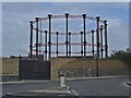
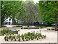
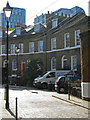
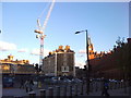
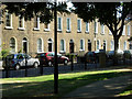
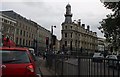
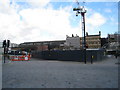
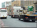


Area Information
Living in King's Cross Ward means residing in one of London's most rapidly transformed urban districts. This compact neighbourhood spans just 1.1 km², resulting in a high population density of 1340 people per square kilometre. The area sits at the southeastern edge of central London, bordered by major arteries including Euston Road, Gray's Inn Road, and Pentonville Road. Historically part of the parish of St Pancras, King's Cross evolved from an ancient crossing point known as Battle Bridge into a major railway hub. Today, the ward is defined by its dual identity as a transport gateway and a cultural destination. Residents walk past landmarks such as King's Cross Station, opened in 1850, and the famous St Pancras International, which serves as the terminus for Eurostar services to Paris and Brussels. The district blends Victorian industrial structures like the Coal Drops with modern developments in the Knowledge Quarter. You will find a mix of offices, creative industries, and housing here. Major employers include Google and the Aga Khan Foundation, alongside institutions like University College London and the British Library. The area attracts workers, students, and visitors from across the world. Daily life revolves around the constant flow between those commuting via the Overground, Northern line, or Victoria line, and those working locally in the regenerated commercial spaces. Granary Square serves as a central public space where this dynamic community gathers.
- Area Type
- District Borough Unitary Ward
- Area Size
- 1.1 km²
- Population
- 1447
- Population Density
- 1340 people/km²
Demographics
The community profile of King's Cross Ward reflects a mature neighbourhood with a median age of 70. This statistic indicates that the resident population skews heavily towards older adults compared to the national average. Housing statistics reveal that only 19% of residents own their homes outright. This low ownership rate suggests that the majority of the population rents either their private property or lives in the substantial council housing stock that characterises the area. Household composition data lists the category as 'total', without breaking down specific family structures like single-parent homes or couples without children. Similarly, data regarding predominant ethnic groups and religious affiliation is presented as 'total', providing no specific breakdown of the diverse populations typically found in central London. Despite the lack of detailed demographic segmentation in the available figures, the history of the area notes a significant presence of refugees, alongside the Bloomsbury Group members who once lived near Pentonville Road figures like Virginia Woolf and John Maynard Keynes. The current demographic reality implies a population sharing living spaces rather than individual family homes. This structure often creates a sense of community rooted in shared accommodation challenges and the specific needs of an elderly demographic.
Household Size
Accommodation Type
Tenure
Ethnic Group
Religion
Household Composition
Age
Household Deprivation
NS-SEC
Explore more demographic insights in this area
Go to Demographics tabPlanning
Planning Constraints
- Flood RiskPremium
- Ramsar Wetland SitesPremium
- Area of Outstanding Natural BeautyPremium
- Protected Nature ReservePremium
- Protected WoodlandPremium