Area Overview for IG8 9AX
Photos of IG8 9AX
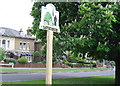
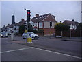
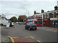
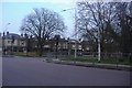
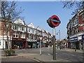

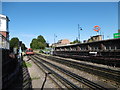
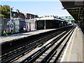
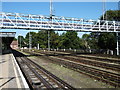
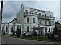
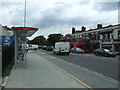
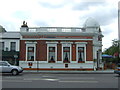
49 photos from this area
Area Information
Key information about the IG8 9AX including its size, population, and administrative classification.
- Area Type
- Postcode
- Area Size
- 9309 m²
- Population
- 1557
- Population Density
- 7700 people/km²
House Prices in IG8 9AX
19
Properties
£450,249
Average Sold Price
£93,995
Lowest Price
£780,000
Highest Price
Showing 19 properties
| Address | Type | Beds | Baths | Last Sale Price | Last Sale Date | |
|---|---|---|---|---|---|---|
| 2 Warley Road, Woodford Green, IG8 9AX | Semi-detached | 3 | 1 | £780,000 | Aug 2023 | |
| 3 Warley Road, Woodford Green, IG8 9AX | house | - | - | £735,000 | Dec 2020 | |
| 24 Warley Road, Woodford Green, IG8 9AX | Semi-detached | 4 | - | £610,000 | Aug 2019 | |
| 10 Warley Road, Woodford Green, IG8 9AX | Terraced | 3 | - | £680,000 | Jul 2018 | |
| 20 Warley Road, Woodford Green, IG8 9AX | house | 4 | - | £415,500 | Jun 2012 | |
| 7A Warley Road, Woodford Green, IG8 9AX | Semi-detached | 4 | 1 | £449,995 | Aug 2011 | |
| 8 Warley Road, Woodford Green, IG8 9AX | house | 4 | 2 | £328,250 | Sep 2005 | |
| 9 Warley Road, Woodford Green, IG8 9AX | Semi-detached | - | - | £272,000 | Jun 2004 | |
| 1 Warley Road, Woodford Green, IG8 9AX | Semi-detached | - | - | £314,995 | Sep 2002 | |
| 22 Warley Road, Woodford Green, IG8 9AX | Semi-detached | - | - | £273,000 | Apr 2001 |
Page 1 of 2
Energy Efficiency in IG8 9AX
Amenities
Schools
| Rank | School | Type | Entry gender | Ages |
|---|
Explore more schools in this area
Go to Schools tabDemographics
Household Size
Family (3-5 people)
most common
Accommodation Type
Houses
most common
Tenure
91
majority
Ethnic Group
White
most common
Religion
N/A
most common
Household Composition
N/A
most common
Age
47
median
Adults (30-64 years)
most common
Household Deprivation
N/A
with no deprivation
NS-SEC
55
in Lower managerial occupations
Explore more demographic insights in this area
Go to Demographics tabPlanning
Planning Constraints
- Flood RiskPremium
- Ramsar Wetland SitesPremium
- Area of Outstanding Natural BeautyPremium
- Protected Nature ReservePremium
- Protected WoodlandPremium