Area Overview for IG8 9AE
Photos of IG8 9AE
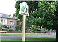
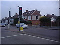
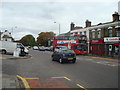
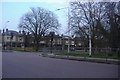
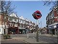

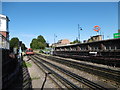
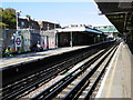
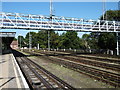
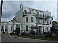
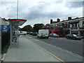
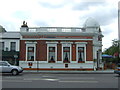
49 photos from this area
Area Information
Key information about the IG8 9AE including its size, population, and administrative classification.
- Area Type
- Postcode
- Area Size
- 6002 m²
- Population
- 1913
- Population Density
- 5127 people/km²
House Prices in IG8 9AE
21
Properties
£342,647
Average Sold Price
£117,000
Lowest Price
£642,500
Highest Price
Showing 21 properties
| Address | Type | Beds | Baths | Last Sale Price | Last Sale Date | |
|---|---|---|---|---|---|---|
| 97 Horn Lane, Woodford Green, IG8 9AE | house | - | - | £635,000 | Jun 2021 | |
| 107 Horn Lane, Woodford Green, IG8 9AE | house | - | - | £635,000 | Mar 2021 | |
| 93 Horn Lane, Woodford Green, IG8 9AE | house | 4 | - | £642,500 | Mar 2021 | |
| 117 Horn Lane, Woodford Green, IG8 9AE | house | - | - | £432,000 | Feb 2013 | |
| 101 Horn Lane, Woodford Green, IG8 9AE | Terraced | - | - | £420,000 | Jul 2012 | |
| 95 Horn Lane, Woodford Green, IG8 9AE | Terraced | - | - | £377,500 | Jul 2008 | |
| 119 Horn Lane, Woodford Green, IG8 9AE | house | 3 | - | £395,000 | Feb 2008 | |
| 91 Horn Lane, Woodford Green, IG8 9AE | Terraced | - | - | £375,000 | Jan 2008 | |
| 87 Horn Lane, Woodford Green, IG8 9AE | Terraced | - | - | £272,000 | Jan 2006 | |
| 109 Horn Lane, Woodford Green, IG8 9AE | Terraced | - | - | £311,000 | Jul 2005 |
Page 1 of 3
Energy Efficiency in IG8 9AE
Amenities
Schools
| Rank | School | Type | Entry gender | Ages |
|---|
Explore more schools in this area
Go to Schools tabDemographics
Household Size
One person
most common
Accommodation Type
Flats
most common
Tenure
52
majority
Ethnic Group
White
most common
Religion
N/A
most common
Household Composition
N/A
most common
Age
47
median
Adults (30-64 years)
most common
Household Deprivation
N/A
with no deprivation
NS-SEC
43
in Lower managerial occupations
Explore more demographic insights in this area
Go to Demographics tabPlanning
Planning Constraints
- Flood RiskPremium
- Ramsar Wetland SitesPremium
- Area of Outstanding Natural BeautyPremium
- Protected Nature ReservePremium
- Protected WoodlandPremium