Area Overview for IG8 0TR
Photos of IG8 0TR
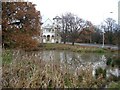
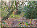
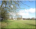
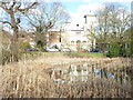
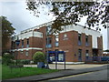
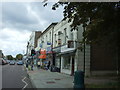
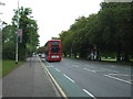
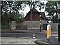
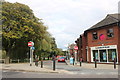
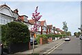
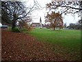
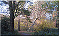
29 photos from this area
Area Information
Key information about the IG8 0TR including its size, population, and administrative classification.
- Area Type
- Postcode
- Area Size
- 1.4 hectares
- Population
- 1618
- Population Density
- 2527 people/km²
House Prices in IG8 0TR
18
Properties
£855,667
Average Sold Price
£177,500
Lowest Price
£2,000,000
Highest Price
Showing 18 properties
| Address | Type | Beds | Baths | Last Sale Price | Last Sale Date | |
|---|---|---|---|---|---|---|
| 18 Woodside Road, Woodford Green, IG8 0TR | Detached | 5 | 2 | £1,551,000 | Sep 2024 | |
| 6 Woodside Road, Woodford Green, IG8 0TR | Detached | 6 | 2 | £2,000,000 | Jul 2023 | |
| 38 Woodside Road, Woodford Green, IG8 0TR | house | - | - | £840,000 | Dec 2021 | |
| 12 Woodside Road, Woodford Green, IG8 0TR | house | - | - | £982,500 | Sep 2019 | |
| 22 Woodside Road, Woodford Green, IG8 0TR | Detached | 6 | 4 | £1,359,000 | Aug 2017 | |
| 26 Woodside Road, Woodford Green, IG8 0TR | house | 5 | - | £653,000 | Nov 2010 | |
| 2 Woodside Road, Woodford Green, IG8 0TR | house | - | - | £490,000 | Mar 2009 | |
| 14 Woodside Road, Woodford Green, IG8 0TR | Semi-detached | - | - | £675,000 | Jul 2006 | |
| 16 Woodside Road, Woodford Green, IG8 0TR | Detached | - | - | £680,000 | Oct 2004 | |
| 28 Woodside Road, Woodford Green, IG8 0TR | Detached | - | - | £480,000 | Jan 2003 |
Page 1 of 2
Energy Efficiency in IG8 0TR
Amenities
Schools
| Rank | School | Type | Entry gender | Ages |
|---|
Explore more schools in this area
Go to Schools tabDemographics
Household Size
Two person
most common
Accommodation Type
Houses
most common
Tenure
81
majority
Ethnic Group
White
most common
Religion
N/A
most common
Household Composition
N/A
most common
Age
47
median
Adults (30-64 years)
most common
Household Deprivation
N/A
with no deprivation
NS-SEC
50
in Lower managerial occupations
Explore more demographic insights in this area
Go to Demographics tabPlanning
Planning Constraints
- Flood RiskPremium
- Ramsar Wetland SitesPremium
- Area of Outstanding Natural BeautyPremium
- Protected Nature ReservePremium
- Protected WoodlandPremium