Area Overview for IG8 0QF
Photos of IG8 0QF
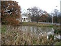
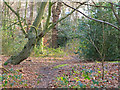
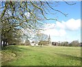
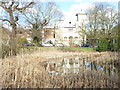
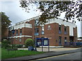
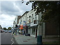
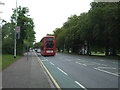
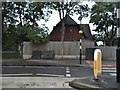
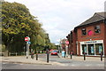
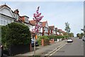
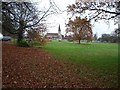
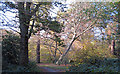
29 photos from this area
Area Information
Key information about the IG8 0QF including its size, population, and administrative classification.
- Area Type
- Postcode
- Area Size
- 1.2 hectares
- Population
- 1412
- Population Density
- 2891 people/km²
House Prices in IG8 0QF
16
Properties
£646,333
Average Sold Price
£235,000
Lowest Price
£1,120,000
Highest Price
Showing 16 properties
| Address | Type | Beds | Baths | Last Sale Price | Last Sale Date | |
|---|---|---|---|---|---|---|
| 20 Forest Way, Woodford Green, IG8 0QF | house | - | - | £1,000,000 | Mar 2023 | |
| 18 Forest Way, Woodford Green, IG8 0QF | Detached | 4 | 2 | £840,000 | Dec 2020 | |
| 19 Forest Way, Woodford Green, IG8 0QF | Detached | 4 | 2 | £1,090,000 | May 2019 | |
| 26 Forest Way, Woodford Green, IG8 0QF | Detached | 4 | 2 | £1,120,000 | Aug 2017 | |
| 27 Forest Way, Woodford Green, IG8 0QF | Detached | 5 | 4 | £1,015,000 | Jan 2017 | |
| 22 Forest Way, Woodford Green, IG8 0QF | Semi-detached | - | - | £645,000 | Aug 2007 | |
| 34 Forest Way, Woodford Green, IG8 0QF | Detached | - | - | £490,000 | Jul 2002 | |
| Le Maison, 29 Forest Way, Woodford Green, IG8 0QF | house | - | - | £385,000 | Mar 2002 | |
| 32 Forest Way, Woodford Green, IG8 0QF | Detached | - | - | £380,000 | Feb 2002 | |
| 28 Forest Way, Woodford Green, IG8 0QF | Semi-detached | - | - | £235,000 | Jun 1999 |
Page 1 of 2
Energy Efficiency in IG8 0QF
Amenities
Schools
| Rank | School | Type | Entry gender | Ages |
|---|
Explore more schools in this area
Go to Schools tabDemographics
Household Size
Family (3-5 people)
most common
Accommodation Type
Houses
most common
Tenure
92
majority
Ethnic Group
White
most common
Religion
N/A
most common
Household Composition
N/A
most common
Age
47
median
Adults (30-64 years)
most common
Household Deprivation
N/A
with no deprivation
NS-SEC
52
in Lower managerial occupations
Explore more demographic insights in this area
Go to Demographics tabPlanning
Planning Constraints
- Flood RiskPremium
- Ramsar Wetland SitesPremium
- Area of Outstanding Natural BeautyPremium
- Protected Nature ReservePremium