Area Overview for IG8 0ER
Photos of IG8 0ER
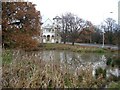
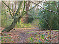
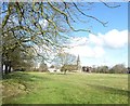
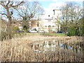

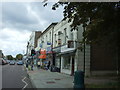
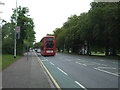
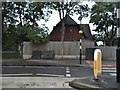
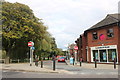
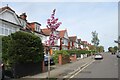
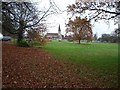
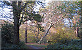
29 photos from this area
Area Information
Key information about the IG8 0ER including its size, population, and administrative classification.
- Area Type
- Postcode
- Area Size
- 2.6 hectares
- Population
- 1636
- Population Density
- 4039 people/km²
House Prices in IG8 0ER
27
Properties
£889,382
Average Sold Price
£174,500
Lowest Price
£1,792,500
Highest Price
Showing 27 properties
| Address | Type | Beds | Baths | Last Sale Price | Last Sale Date | |
|---|---|---|---|---|---|---|
| 87 Monkhams Avenue, Woodford Green, IG8 0ER | Semi-detached | 5 | 3 | £1,500,000 | Jun 2025 | |
| 111 Monkhams Avenue, Woodford Green, IG8 0ER | Retail | 4 | 2 | £1,792,500 | Nov 2022 | |
| 113A Monkhams Avenue, Woodford Green, IG8 0ER | house | - | - | £1,350,000 | Nov 2020 | |
| 91 Monkhams Avenue, Woodford Green, IG8 0ER | Semi-detached | 5 | 2 | £1,275,000 | Aug 2019 | |
| 115 Monkhams Avenue, Woodford Green, IG8 0ER | house | - | - | £825,000 | Feb 2019 | |
| 105 Monkhams Avenue, Woodford Green, IG8 0ER | house | - | - | £930,000 | Sep 2018 | |
| 107 Monkhams Avenue, Woodford Green, IG8 0ER | house | 5 | - | £740,000 | Dec 2012 | |
| 125 Monkhams Avenue, Woodford Green, IG8 0ER | house | - | - | £1,025,000 | Sep 2012 | |
| 85A Monkhams Avenue, Woodford Green, IG8 0ER | Detached | 6 | 1 | £740,000 | Mar 2011 | |
| 123 Monkhams Avenue, Woodford Green, IG8 0ER | house | - | - | £1,262,500 | Sep 2010 |
Page 1 of 3
Energy Efficiency in IG8 0ER
Amenities
Schools
| Rank | School | Type | Entry gender | Ages |
|---|
Explore more schools in this area
Go to Schools tabDemographics
Household Size
Two person
most common
Accommodation Type
Houses
most common
Tenure
75
majority
Ethnic Group
White
most common
Religion
N/A
most common
Household Composition
N/A
most common
Age
47
median
Adults (30-64 years)
most common
Household Deprivation
N/A
with no deprivation
NS-SEC
53
in Lower managerial occupations
Explore more demographic insights in this area
Go to Demographics tabPlanning
Planning Constraints
- Flood RiskPremium
- Ramsar Wetland SitesPremium
- Area of Outstanding Natural BeautyPremium
- Protected Nature ReservePremium
- Protected WoodlandPremium