Area Overview for IG8 0AX
Photos of IG8 0AX
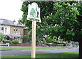
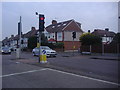
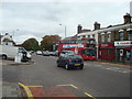
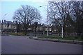
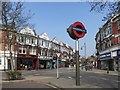

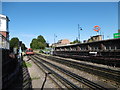
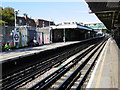
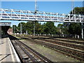
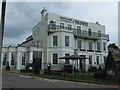
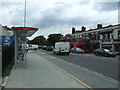
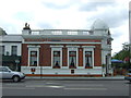
49 photos from this area
Area Information
Key information about the IG8 0AX including its size, population, and administrative classification.
- Area Type
- Postcode
- Area Size
- 7595 m²
- Population
- 1913
- Population Density
- 5127 people/km²
House Prices in IG8 0AX
16
Properties
£326,909
Average Sold Price
£110,000
Lowest Price
£565,000
Highest Price
Showing 16 properties
| Address | Type | Beds | Baths | Last Sale Price | Last Sale Date | |
|---|---|---|---|---|---|---|
| 19 Broadmead Road, Woodford Green, IG8 0AX | house | - | - | £525,000 | Oct 2015 | |
| 27 Broadmead Road, Woodford Green, IG8 0AX | house | - | - | £499,500 | Dec 2014 | |
| 23 Broadmead Road, Woodford Green, IG8 0AX | house | - | - | £444,000 | Apr 2013 | |
| 1 Broadmead Road, Woodford Green, IG8 0AX | Semi-detached | - | - | £565,000 | Apr 2013 | |
| 7 Broadmead Road, Woodford Green, IG8 0AX | house | - | - | £435,000 | Dec 2012 | |
| 17 Broadmead Road, Woodford Green, IG8 0AX | Semi-detached | - | - | £350,000 | Oct 2006 | |
| 25 Broadmead Road, Woodford Green, IG8 0AX | Semi-detached | - | - | £201,000 | Oct 2001 | |
| 11 Broadmead Road, Woodford Green, IG8 0AX | Semi-detached | - | - | £215,000 | Aug 2001 | |
| 15 Broadmead Road, Woodford Green, IG8 0AX | house | - | - | £126,500 | Aug 1997 | |
| 31 Broadmead Road, Woodford Green, IG8 0AX | Semi-detached | - | - | £125,000 | Feb 1997 |
Page 1 of 2
Energy Efficiency in IG8 0AX
Amenities
Schools
| Rank | School | Type | Entry gender | Ages |
|---|
Explore more schools in this area
Go to Schools tabDemographics
Household Size
One person
most common
Accommodation Type
Flats
most common
Tenure
52
majority
Ethnic Group
White
most common
Religion
N/A
most common
Household Composition
N/A
most common
Age
47
median
Adults (30-64 years)
most common
Household Deprivation
N/A
with no deprivation
NS-SEC
43
in Lower managerial occupations
Explore more demographic insights in this area
Go to Demographics tabPlanning
Planning Constraints
- Flood RiskPremium
- Ramsar Wetland SitesPremium
- Area of Outstanding Natural BeautyPremium
- Protected Nature ReservePremium
- Protected WoodlandPremium