Area Overview for IG6 2LW
Photos of IG6 2LW

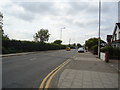
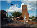
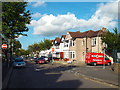
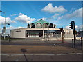
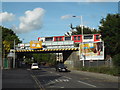
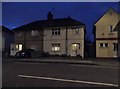
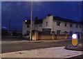
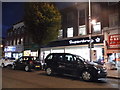
43 photos from this area
Area Information
Key information about the IG6 2LW including its size, population, and administrative classification.
- Area Type
- Postcode
- Area Size
- 8990 m²
- Population
- 2525
- Population Density
- 3830 people/km²
House Prices in IG6 2LW
30
Properties
£265,294
Average Sold Price
£49,000
Lowest Price
£450,000
Highest Price
Showing 30 properties
| Address | Type | Beds | Baths | Last Sale Price | Last Sale Date | |
|---|---|---|---|---|---|---|
| 13 Addison Road, Hainault, Ilford, IG6 2LW | Terraced | 3 | 1 | £450,000 | Mar 2025 | |
| 3 Addison Road, Hainault, Ilford, IG6 2LW | house | - | - | £400,000 | Apr 2021 | |
| 31 Addison Road, Hainault, Ilford, IG6 2LW | house | 3 | - | £410,000 | Feb 2019 | |
| 2 Addison Road, Hainault, Ilford, IG6 2LW | Semi-detached | 3 | 1 | £322,000 | May 2018 | |
| 18 Addison Road, Hainault, Ilford, IG6 2LW | Detached | 4 | 2 | £436,500 | Apr 2018 | |
| 23 Addison Road, Hainault, Ilford, IG6 2LW | Terraced | 3 | - | £413,000 | Apr 2016 | |
| 9 Addison Road, Hainault, Ilford, IG6 2LW | Terraced | 3 | 2 | £240,000 | Jun 2013 | |
| 29 Addison Road, Hainault, Ilford, IG6 2LW | house | 3 | - | £222,500 | Jan 2013 | |
| 16 Addison Road, Hainault, Ilford, IG6 2LW | Semi-detached | 3 | 1 | £280,000 | Dec 2011 | |
| 11 Addison Road, Hainault, Ilford, IG6 2LW | Terraced | - | - | £150,000 | Mar 2008 |
Page 1 of 3
Energy Efficiency in IG6 2LW
Amenities
Schools
| Rank | School | Type | Entry gender | Ages |
|---|
Explore more schools in this area
Go to Schools tabDemographics
Household Size
Family (3-5 people)
most common
Accommodation Type
Houses
most common
Tenure
61
majority
Ethnic Group
White
most common
Religion
N/A
most common
Household Composition
N/A
most common
Age
47
median
Adults (30-64 years)
most common
Household Deprivation
N/A
with no deprivation
NS-SEC
30
in Lower managerial occupations
Explore more demographic insights in this area
Go to Demographics tabPlanning
Planning Constraints
- Flood RiskPremium
- Ramsar Wetland SitesPremium
- Area of Outstanding Natural BeautyPremium
- Protected Nature ReservePremium
- Protected WoodlandPremium