Area Overview for IG5 0FB
Photos of IG5 0FB
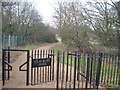
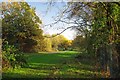
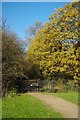
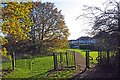
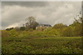
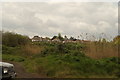
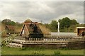
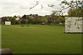
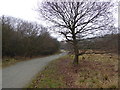
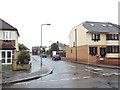
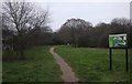
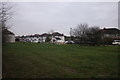
41 photos from this area
Area Information
Key information about the IG5 0FB including its size, population, and administrative classification.
- Area Type
- Postcode
- Area Size
- 5.2 hectares
- Population
- 2064
- Population Density
- 4687 people/km²
House Prices in IG5 0FB
55
Properties
£345,280
Average Sold Price
£158,328
Lowest Price
£535,000
Highest Price
Showing 55 properties
| Address | Type | Beds | Baths | Last Sale Price | Last Sale Date | |
|---|---|---|---|---|---|---|
| 42 Hawthorn Crescent, Ilford, IG5 0FB | Flat | - | - | £186,131 | Mar 2022 | |
| 40 Hawthorn Crescent, Ilford, IG5 0FB | Flat | - | - | £158,328 | Mar 2022 | |
| 6 Hawthorn Crescent, Ilford, IG5 0FB | Flat | - | - | £163,059 | Mar 2022 | |
| 53 Hawthorn Crescent, Ilford, IG5 0FB | house | - | - | £535,000 | Oct 2018 | |
| 54 Hawthorn Crescent, Ilford, IG5 0FB | house | - | - | £535,000 | Sep 2018 | |
| 51 Hawthorn Crescent, Ilford, IG5 0FB | house | - | - | £465,000 | Apr 2018 | |
| 52 Hawthorn Crescent, Ilford, IG5 0FB | house | - | - | £535,000 | Apr 2018 | |
| 15 Hawthorn Crescent, Ilford, IG5 0FB | Flat | - | - | £265,000 | Dec 2016 | |
| 20 Hawthorn Crescent, Ilford, IG5 0FB | Flat | - | - | £265,000 | Feb 2016 | |
| 28 Hawthorn Crescent, Ilford, IG5 0FB | Flat | - | - | - | - |
Page 1 of 6
Energy Efficiency in IG5 0FB
Amenities
Schools
| Rank | School | Type | Entry gender | Ages |
|---|
Explore more schools in this area
Go to Schools tabDemographics
Household Size
Family (3-5 people)
most common
Accommodation Type
Flats
most common
Tenure
46
majority
Ethnic Group
White
most common
Religion
N/A
most common
Household Composition
N/A
most common
Age
47
median
Adults (30-64 years)
most common
Household Deprivation
N/A
with no deprivation
NS-SEC
28
in Lower managerial occupations
Explore more demographic insights in this area
Go to Demographics tabPlanning
Planning Constraints
- Flood RiskPremium
- Ramsar Wetland SitesPremium
- Area of Outstanding Natural BeautyPremium
- Protected Nature ReservePremium
- Protected WoodlandPremium