Area Overview for IG3 9ND
Photos of IG3 9ND
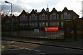

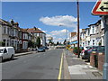
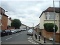
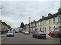

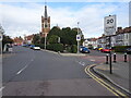
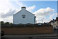
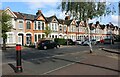
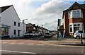
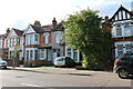
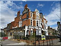
39 photos from this area
Area Information
Key information about the IG3 9ND including its size, population, and administrative classification.
- Area Type
- Postcode
- Area Size
- 9446 m²
- Population
- 2973
- Population Density
- 8382 people/km²
House Prices in IG3 9ND
14
Properties
£470,429
Average Sold Price
£123,000
Lowest Price
£700,000
Highest Price
Showing 14 properties
| Address | Type | Beds | Baths | Last Sale Price | Last Sale Date | |
|---|---|---|---|---|---|---|
| 60 Breamore Road, Seven Kings, Ilford, IG3 9ND | Bungalow | 5 | 2 | £645,000 | Sep 2023 | |
| 74 Breamore Road, Seven Kings, Ilford, IG3 9ND | Bungalow | 5 | 3 | £700,000 | Apr 2017 | |
| 54 Breamore Road, Seven Kings, Ilford, IG3 9ND | Bungalow | 2 | - | £465,000 | Mar 2010 | |
| 58 Breamore Road, Seven Kings, Ilford, IG3 9ND | Bungalow | 5 | 3 | £650,000 | Jul 2007 | |
| 62 Breamore Road, Seven Kings, Ilford, IG3 9ND | Detached | - | - | £460,000 | Dec 2006 | |
| 52 Breamore Road, Seven Kings, Ilford, IG3 9ND | Bungalow | 4 | - | £250,000 | Apr 2001 | |
| 64 Breamore Road, Seven Kings, Ilford, IG3 9ND | Semi-detached | 2 | 1 | £123,000 | Aug 1996 | |
| 48 Breamore Road, Seven Kings, Ilford, IG3 9ND | Bungalow | 5 | 2 | - | - | |
| 70 Breamore Road, Seven Kings, Ilford, IG3 9ND | Detached | - | - | - | - | |
| 50 Breamore Road, Seven Kings, Ilford, IG3 9ND | Detached | - | - | - | - |
Page 1 of 2
Energy Efficiency in IG3 9ND
Amenities
Schools
| Rank | School | Type | Entry gender | Ages |
|---|
Explore more schools in this area
Go to Schools tabDemographics
Household Size
Family (3-5 people)
most common
Accommodation Type
Houses
most common
Tenure
73
majority
Ethnic Group
asian_total
most common
Religion
N/A
most common
Household Composition
N/A
most common
Age
47
median
Adults (30-64 years)
most common
Household Deprivation
N/A
with no deprivation
NS-SEC
29
in Lower managerial occupations
Explore more demographic insights in this area
Go to Demographics tabPlanning
Planning Constraints
- Flood RiskPremium
- Ramsar Wetland SitesPremium
- Area of Outstanding Natural BeautyPremium
- Protected Nature ReservePremium
- Protected WoodlandPremium