Area Overview for IG2 7SA
Photos of IG2 7SA
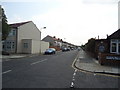
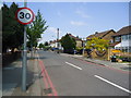
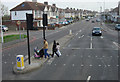
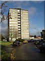
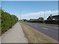
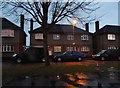
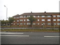
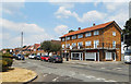
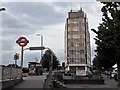
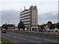
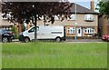
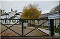
42 photos from this area
Area Information
Key information about the IG2 7SA including its size, population, and administrative classification.
- Area Type
- Postcode
- Area Size
- 1.4 hectares
- Population
- 1958
- Population Density
- 320 people/km²
House Prices in IG2 7SA
47
Properties
£271,773
Average Sold Price
£58,000
Lowest Price
£540,000
Highest Price
Showing 47 properties
| Address | Type | Beds | Baths | Last Sale Price | Last Sale Date | |
|---|---|---|---|---|---|---|
| 879 Eastern Avenue, Ilford, IG2 7SA | Terraced | 3 | 2 | £470,000 | Oct 2023 | |
| 893 Eastern Avenue, Ilford, IG2 7SA | Terraced | 3 | 1 | £474,600 | Jul 2021 | |
| 895 Eastern Avenue, Ilford, IG2 7SA | house | 3 | - | £425,000 | Mar 2021 | |
| 885 Eastern Avenue, Ilford, IG2 7SA | house | 4 | - | £540,000 | Apr 2017 | |
| 863 Eastern Avenue, Ilford, IG2 7SA | Terraced | 3 | 3 | £427,500 | Apr 2017 | |
| 873 Eastern Avenue, Ilford, IG2 7SA | house | - | - | £415,000 | Jun 2016 | |
| 883 Eastern Avenue, Ilford, IG2 7SA | Semi-detached | 5 | 3 | £472,000 | Mar 2016 | |
| 887 Eastern Avenue, Ilford, IG2 7SA | house | - | - | £205,000 | Jan 2013 | |
| 853 Eastern Avenue, Ilford, IG2 7SA | Terraced | 4 | 2 | £425,000 | Aug 2011 | |
| 851 Eastern Avenue, Ilford, IG2 7SA | Terraced | 3 | 2 | £256,000 | Jun 2011 |
Page 1 of 5
Energy Efficiency in IG2 7SA
Amenities
Schools
| Rank | School | Type | Entry gender | Ages |
|---|
Explore more schools in this area
Go to Schools tabDemographics
Household Size
Family (3-5 people)
most common
Accommodation Type
Houses
most common
Tenure
68
majority
Ethnic Group
asian_total
most common
Religion
N/A
most common
Household Composition
N/A
most common
Age
47
median
Adults (30-64 years)
most common
Household Deprivation
N/A
with no deprivation
NS-SEC
35
in Lower managerial occupations
Explore more demographic insights in this area
Go to Demographics tabPlanning
Planning Constraints
- Flood RiskPremium
- Ramsar Wetland SitesPremium
- Area of Outstanding Natural BeautyPremium
- Protected Nature ReservePremium
- Protected WoodlandPremium