Area Overview for IG2 7HG
Photos of IG2 7HG
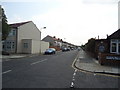
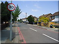
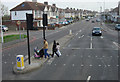
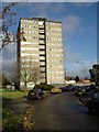
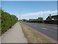
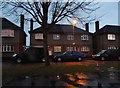
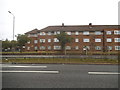
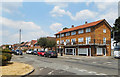
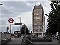
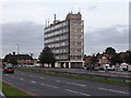
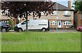

42 photos from this area
Area Information
Key information about the IG2 7HG including its size, population, and administrative classification.
- Area Type
- Postcode
- Area Size
- 4627 m²
- Population
- 2274
- Population Density
- 3808 people/km²
House Prices in IG2 7HG
18
Properties
£268,787
Average Sold Price
£64,000
Lowest Price
£525,000
Highest Price
Showing 18 properties
| Address | Type | Beds | Baths | Last Sale Price | Last Sale Date | |
|---|---|---|---|---|---|---|
| 6 Buxton Road, Newbury Park, Ilford, IG2 7HG | Terraced | 3 | 1 | £525,000 | Apr 2022 | |
| 9 Buxton Road, Newbury Park, Ilford, IG2 7HG | Detached | 3 | 2 | £400,000 | Jan 2020 | |
| 2 Buxton Road, Newbury Park, Ilford, IG2 7HG | Terraced | 3 | 2 | £353,000 | Dec 2014 | |
| 8 Buxton Road, Newbury Park, Ilford, IG2 7HG | house | - | - | £299,995 | Apr 2014 | |
| 13 Buxton Road, Newbury Park, Ilford, IG2 7HG | Semi-detached | 3 | 1 | £325,000 | Apr 2014 | |
| 12 Buxton Road, Newbury Park, Ilford, IG2 7HG | house | - | - | £268,525 | Sep 2012 | |
| 16 Buxton Road, Newbury Park, Ilford, IG2 7HG | house | 3 | - | £244,000 | Nov 2010 | |
| 5 Buxton Road, Newbury Park, Ilford, IG2 7HG | Flat | - | - | £295,000 | Jun 2008 | |
| 15 Buxton Road, Newbury Park, Ilford, IG2 7HG | house | - | - | £250,000 | Dec 2006 | |
| 7 Buxton Road, Newbury Park, Ilford, IG2 7HG | house | - | - | £265,000 | Jul 2006 |
Page 1 of 2
Energy Efficiency in IG2 7HG
Amenities
Schools
| Rank | School | Type | Entry gender | Ages |
|---|
Explore more schools in this area
Go to Schools tabDemographics
Household Size
Family (3-5 people)
most common
Accommodation Type
Houses
most common
Tenure
54
majority
Ethnic Group
asian_total
most common
Religion
N/A
most common
Household Composition
N/A
most common
Age
47
median
Adults (30-64 years)
most common
Household Deprivation
N/A
with no deprivation
NS-SEC
27
in Lower managerial occupations
Explore more demographic insights in this area
Go to Demographics tabPlanning
Planning Constraints
- Flood RiskPremium
- Ramsar Wetland SitesPremium
- Area of Outstanding Natural BeautyPremium
- Protected Nature ReservePremium
- Protected WoodlandPremium