Area Overview for IG2 7DU
Photos of IG2 7DU
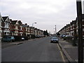
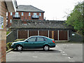
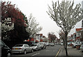
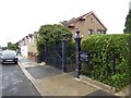
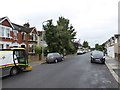
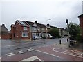
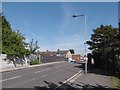
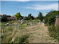
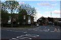
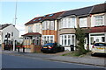

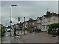
53 photos from this area
Area Information
Key information about the IG2 7DU including its size, population, and administrative classification.
- Area Type
- Postcode
- Area Size
- 5958 m²
- Population
- 1987
- Population Density
- 11433 people/km²
House Prices in IG2 7DU
45
Properties
£155,639
Average Sold Price
£48,000
Lowest Price
£265,000
Highest Price
Showing 45 properties
| Address | Type | Beds | Baths | Last Sale Price | Last Sale Date | |
|---|---|---|---|---|---|---|
| 21 Lynn Road, Newbury Park, Ilford, IG2 7DU | Flat | - | - | £250,000 | Jan 2024 | |
| 51 Lynn Road, Newbury Park, Ilford, IG2 7DU | Flat | 2 | 1 | £257,500 | Feb 2022 | |
| 63 Lynn Road, Newbury Park, Ilford, IG2 7DU | Flat | - | - | £250,000 | Dec 2020 | |
| 77 Lynn Road, Newbury Park, Ilford, IG2 7DU | Flat | - | - | £265,000 | Jun 2020 | |
| 71 Lynn Road, Newbury Park, Ilford, IG2 7DU | Flat | - | - | £260,000 | Oct 2019 | |
| 11 Lynn Road, Newbury Park, Ilford, IG2 7DU | Flat | - | - | £140,000 | Oct 2018 | |
| 23 Lynn Road, Newbury Park, Ilford, IG2 7DU | Flat | - | - | £261,000 | Jul 2018 | |
| 29 Lynn Road, Newbury Park, Ilford, IG2 7DU | Flat | - | - | £251,000 | May 2018 | |
| 17 Lynn Road, Newbury Park, Ilford, IG2 7DU | Flat | - | - | £260,000 | Mar 2018 | |
| 43 Lynn Road, Newbury Park, Ilford, IG2 7DU | Flat | - | - | £200,000 | May 2015 |
Page 1 of 5
Energy Efficiency in IG2 7DU
Amenities
Schools
| Rank | School | Type | Entry gender | Ages |
|---|
Explore more schools in this area
Go to Schools tabDemographics
Household Size
Family (3-5 people)
most common
Accommodation Type
Houses
most common
Tenure
55
majority
Ethnic Group
asian_total
most common
Religion
N/A
most common
Household Composition
N/A
most common
Age
47
median
Adults (30-64 years)
most common
Household Deprivation
N/A
with no deprivation
NS-SEC
30
in Lower managerial occupations
Explore more demographic insights in this area
Go to Demographics tabPlanning
Planning Constraints
- Flood RiskPremium
- Ramsar Wetland SitesPremium
- Area of Outstanding Natural BeautyPremium
- Protected Nature ReservePremium
- Protected WoodlandPremium