Area Overview for IG11 9XH
Photos of IG11 9XH
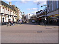
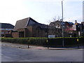
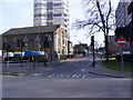
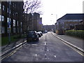
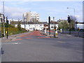
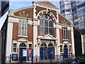
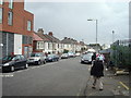
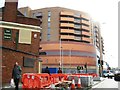
100 photos from this area
Area Information
Key information about the IG11 9XH including its size, population, and administrative classification.
- Area Type
- Postcode
- Area Size
- 7986 m²
- Population
- 1804
- Population Density
- 14105 people/km²
House Prices in IG11 9XH
43
Properties
£165,430
Average Sold Price
£53,000
Lowest Price
£350,000
Highest Price
Showing 43 properties
| Address | Type | Beds | Baths | Last Sale Price | Last Sale Date | |
|---|---|---|---|---|---|---|
| 11 Somerby Road, Barking, IG11 9XH | house | - | - | £350,000 | Sep 2019 | |
| 20 Somerby Road, Barking, IG11 9XH | Semi-detached | 2 | 2 | £320,000 | Jan 2017 | |
| 27 Somerby Road, Barking, IG11 9XH | Terraced | 3 | 2 | £270,000 | Mar 2016 | |
| 21 Somerby Road, Barking, IG11 9XH | Terraced | 5 | 3 | £349,000 | Oct 2015 | |
| 13 Somerby Road, Barking, IG11 9XH | house | - | - | £170,000 | Jun 2009 | |
| 28 Somerby Road, Barking, IG11 9XH | house | - | - | £220,000 | Sep 2007 | |
| 14 Somerby Road, Barking, IG11 9XH | Terraced | - | - | £242,000 | Jul 2007 | |
| 40 Somerby Road, Barking, IG11 9XH | Terraced | - | - | £225,000 | Jan 2005 | |
| 18 Somerby Road, Barking, IG11 9XH | Terraced | - | - | £165,000 | Jun 2004 | |
| 33 Somerby Road, Barking, IG11 9XH | house | - | - | £180,000 | Dec 2003 |
Page 1 of 5
Energy Efficiency in IG11 9XH
Amenities
Schools
| Rank | School | Type | Entry gender | Ages |
|---|
Explore more schools in this area
Go to Schools tabDemographics
Household Size
Family (3-5 people)
most common
Accommodation Type
Houses
most common
Tenure
33
majority
Ethnic Group
asian_total
most common
Religion
N/A
most common
Household Composition
N/A
most common
Age
47
median
Adults (30-64 years)
most common
Household Deprivation
N/A
with no deprivation
NS-SEC
19
in Lower managerial occupations
Explore more demographic insights in this area
Go to Demographics tabPlanning
Planning Constraints
- Flood RiskPremium
- Ramsar Wetland SitesPremium
- Area of Outstanding Natural BeautyPremium
- Protected Nature ReservePremium
- Protected WoodlandPremium