Area Overview for IG11 9UR
Photos of IG11 9UR
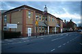
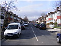
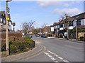
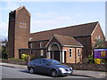
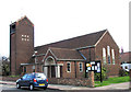
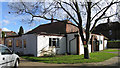
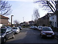
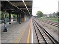
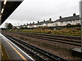
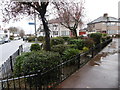
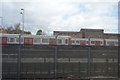
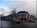
61 photos from this area
Area Information
Key information about the IG11 9UR including its size, population, and administrative classification.
- Area Type
- Postcode
- Area Size
- 3633 m²
- Population
- 2607
- Population Density
- 9631 people/km²
House Prices in IG11 9UR
14
Properties
£230,412
Average Sold Price
£86,000
Lowest Price
£409,950
Highest Price
Showing 14 properties
| Address | Type | Beds | Baths | Last Sale Price | Last Sale Date | |
|---|---|---|---|---|---|---|
| 118 Hulse Avenue, Barking, IG11 9UR | Detached | 4 | 1 | £400,000 | May 2019 | |
| 79 Hulse Avenue, Barking, IG11 9UR | house | - | - | £395,000 | Mar 2016 | |
| 77 Hulse Avenue, Barking, IG11 9UR | house | 5 | - | £409,950 | May 2014 | |
| 110 Hulse Avenue, Barking, IG11 9UR | Terraced | - | - | £249,995 | Sep 2007 | |
| 106 Hulse Avenue, Barking, IG11 9UR | Terraced | - | - | £210,000 | May 2007 | |
| 122A Hulse Avenue, Barking, IG11 9UR | house | - | - | £230,000 | Jul 2006 | |
| 122 Hulse Avenue, Barking, IG11 9UR | house | - | - | £230,000 | Jul 2006 | |
| 116 Hulse Avenue, Barking, IG11 9UR | Terraced | 3 | 1 | £222,000 | Aug 2004 | |
| 83 Hulse Avenue, Barking, IG11 9UR | Terraced | - | - | £152,000 | Jun 2000 | |
| 114 Hulse Avenue, Barking, IG11 9UR | Terraced | - | - | £86,000 | Mar 1999 |
Page 1 of 2
Energy Efficiency in IG11 9UR
Amenities
Schools
| Rank | School | Type | Entry gender | Ages |
|---|
Explore more schools in this area
Go to Schools tabDemographics
Household Size
Family (3-5 people)
most common
Accommodation Type
Houses
most common
Tenure
61
majority
Ethnic Group
asian_total
most common
Religion
N/A
most common
Household Composition
N/A
most common
Age
47
median
Adults (30-64 years)
most common
Household Deprivation
N/A
with no deprivation
NS-SEC
27
in Lower managerial occupations
Explore more demographic insights in this area
Go to Demographics tabPlanning
Planning Constraints
- Flood RiskPremium
- Ramsar Wetland SitesPremium
- Area of Outstanding Natural BeautyPremium
- Protected Nature ReservePremium
- Protected WoodlandPremium