Area Overview for IG11 9PT
Photos of IG11 9PT
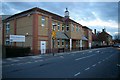
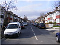
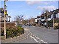
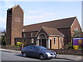
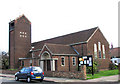
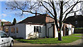
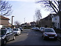
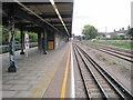
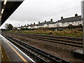
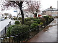
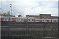
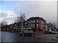
61 photos from this area
Area Information
Key information about the IG11 9PT including its size, population, and administrative classification.
- Area Type
- Postcode
- Area Size
- 4827 m²
- Population
- 1879
- Population Density
- 11008 people/km²
House Prices in IG11 9PT
22
Properties
£193,563
Average Sold Price
£119,000
Lowest Price
£335,000
Highest Price
Showing 22 properties
| Address | Type | Beds | Baths | Last Sale Price | Last Sale Date | |
|---|---|---|---|---|---|---|
| 91 Lambourne Road, Barking, IG11 9PT | Maisonette | - | - | £260,000 | Mar 2021 | |
| 70 Lambourne Road, Barking, IG11 9PT | house | 2 | - | £335,000 | Feb 2021 | |
| 99A Lambourne Road, Barking, IG11 9PT | Flat | - | - | £228,500 | Nov 2015 | |
| 66 Lambourne Road, Barking, IG11 9PT | house | - | - | £170,500 | Nov 2006 | |
| 101 Lambourne Road, Barking, IG11 9PT | Maisonette | 2 | 1 | £120,000 | Jun 2006 | |
| 64 Lambourne Road, Barking, IG11 9PT | Terraced | - | - | £184,000 | Dec 2005 | |
| 72 Lambourne Road, Barking, IG11 9PT | house | - | - | £131,500 | Nov 2002 | |
| 76 Lambourne Road, Barking, IG11 9PT | Semi-detached | - | - | £119,000 | Apr 2002 | |
| 97 Lambourne Road, Barking, IG11 9PT | Flat | - | - | - | - | |
| 95 Lambourne Road, Barking, IG11 9PT | Flat | - | - | - | - |
Page 1 of 3
Energy Efficiency in IG11 9PT
Amenities
Schools
| Rank | School | Type | Entry gender | Ages |
|---|
Explore more schools in this area
Go to Schools tabDemographics
Household Size
Family (3-5 people)
most common
Accommodation Type
Houses
most common
Tenure
33
majority
Ethnic Group
White
most common
Religion
N/A
most common
Household Composition
N/A
most common
Age
47
median
Adults (30-64 years)
most common
Household Deprivation
N/A
with no deprivation
NS-SEC
19
in Lower managerial occupations
Explore more demographic insights in this area
Go to Demographics tabPlanning
Planning Constraints
- Flood RiskPremium
- Ramsar Wetland SitesPremium
- Area of Outstanding Natural BeautyPremium
- Protected Nature ReservePremium
- Protected WoodlandPremium