Area Overview for IG11 9DR
Photos of IG11 9DR
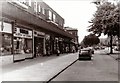
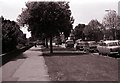
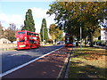
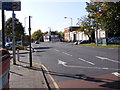
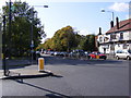
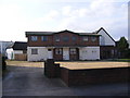
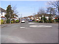
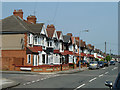
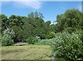
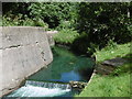
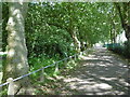
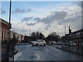
72 photos from this area
Area Information
Key information about the IG11 9DR including its size, population, and administrative classification.
- Area Type
- Postcode
- Area Size
- 1.4 hectares
- Population
- 2073
- Population Density
- 5291 people/km²
House Prices in IG11 9DR
30
Properties
£369,964
Average Sold Price
£226,000
Lowest Price
£825,000
Highest Price
Showing 30 properties
| Address | Type | Beds | Baths | Last Sale Price | Last Sale Date | |
|---|---|---|---|---|---|---|
| 2 Cavendish Gardens, Barking, IG11 9DR | Semi-detached | 5 | 3 | £825,000 | Feb 2023 | |
| 22 Cavendish Gardens, Barking, IG11 9DR | Semi-detached | 4 | 2 | £567,000 | May 2019 | |
| 21 Cavendish Gardens, Barking, IG11 9DR | Terraced | 3 | 1 | £485,000 | Nov 2018 | |
| 17 Cavendish Gardens, Barking, IG11 9DR | Terraced | 3 | 1 | £470,000 | Sep 2018 | |
| 1 Cavendish Gardens, Barking, IG11 9DR | Terraced | 3 | 1 | £450,000 | Jul 2018 | |
| 19 Cavendish Gardens, Barking, IG11 9DR | Terraced | 3 | 1 | £440,000 | Jan 2017 | |
| 20 Cavendish Gardens, Barking, IG11 9DR | Retail | 3 | 1 | £480,000 | Jul 2016 | |
| 7 Cavendish Gardens, Barking, IG11 9DR | Terraced | 3 | 1 | £390,000 | Jan 2016 | |
| 31 Cavendish Gardens, Barking, IG11 9DR | Semi-detached | 3 | - | £315,000 | Feb 2014 | |
| 3 Cavendish Gardens, Barking, IG11 9DR | Terraced | - | - | £365,000 | Jul 2012 |
Page 1 of 3
Energy Efficiency in IG11 9DR
Amenities
Schools
| Rank | School | Type | Entry gender | Ages |
|---|
Explore more schools in this area
Go to Schools tabDemographics
Household Size
Family (3-5 people)
most common
Accommodation Type
Houses
most common
Tenure
73
majority
Ethnic Group
asian_total
most common
Religion
N/A
most common
Household Composition
N/A
most common
Age
47
median
Adults (30-64 years)
most common
Household Deprivation
N/A
with no deprivation
NS-SEC
29
in Lower managerial occupations
Explore more demographic insights in this area
Go to Demographics tabPlanning
Planning Constraints
- Flood RiskPremium
- Ramsar Wetland SitesPremium
- Area of Outstanding Natural BeautyPremium
- Protected Nature ReservePremium
- Protected WoodlandPremium