Area Overview for IG11 0DR
Photos of IG11 0DR
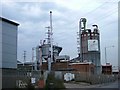

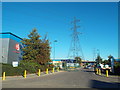
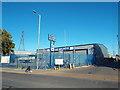
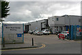
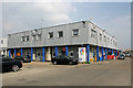
21 photos from this area
Area Information
Key information about the IG11 0DR including its size, population, and administrative classification.
- Area Type
- Postcode
- Area Size
- 6.0 hectares
- Population
- 1821
- Population Density
- 2582 people/km²
House Prices in IG11 0DR
4
Properties
-
Average Sold Price
-
Lowest Price
-
Highest Price
Showing 4 properties
| Address | Type | Beds | Baths | Last Sale Price | Last Sale Date | |
|---|---|---|---|---|---|---|
| Boleyn Service Station, 79 River Road, Barking, IG11 0DR | Industrial | - | - | - | - | |
| Catering Van Opposite Remploy Site, Long Reach Road, Barking, IG11 0DR | Restaurant | - | - | - | - | |
| Units 17 And 18, The Io Centre, 59-71 River Road, Barking, IG11 0DR | warehouse | - | - | - | - | |
| Lt Baldwin Transport Limited, Unit 9, The Io Centre, 59-71 River Road, Barking, IG11 0DR | Industrial | - | - | - | - |
Energy Efficiency in IG11 0DR
Amenities
Schools
| Rank | School | Type | Entry gender | Ages |
|---|
Explore more schools in this area
Go to Schools tabDemographics
Household Size
Family (3-5 people)
most common
Accommodation Type
Houses
most common
Tenure
37
majority
Ethnic Group
black_total
most common
Religion
N/A
most common
Household Composition
N/A
most common
Age
22
median
Adults (30-64 years)
most common
Household Deprivation
N/A
with no deprivation
NS-SEC
27
in Lower managerial occupations
Explore more demographic insights in this area
Go to Demographics tabPlanning
Planning Constraints
- Flood RiskPremium
- Ramsar Wetland SitesPremium
- Area of Outstanding Natural BeautyPremium
- Protected Nature ReservePremium
- Protected WoodlandPremium