Area Overview for IG1 4HA
Photos of IG1 4HA
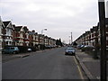
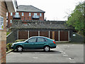
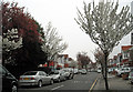
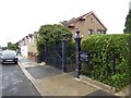
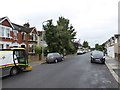
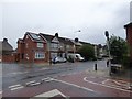
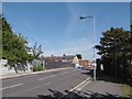
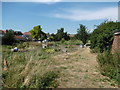

53 photos from this area
Area Information
Key information about the IG1 4HA including its size, population, and administrative classification.
- Area Type
- Postcode
- Area Size
- 9370 m²
- Population
- 1740
- Population Density
- 10394 people/km²
House Prices in IG1 4HA
47
Properties
£339,281
Average Sold Price
£65,000
Lowest Price
£585,000
Highest Price
Showing 47 properties
| Address | Type | Beds | Baths | Last Sale Price | Last Sale Date | |
|---|---|---|---|---|---|---|
| 232 Thorold Road, Ilford, IG1 4HA | house | - | - | £575,000 | Jan 2023 | |
| 202 Thorold Road, Ilford, IG1 4HA | house | - | - | £585,000 | Sep 2022 | |
| 256 Thorold Road, Ilford, IG1 4HA | house | - | - | £525,000 | Jun 2021 | |
| 208 Thorold Road, Ilford, IG1 4HA | Terraced | 3 | 2 | £482,000 | May 2019 | |
| 234 Thorold Road, Ilford, IG1 4HA | Terraced | 3 | 1 | £490,000 | Oct 2017 | |
| 250 Thorold Road, Ilford, IG1 4HA | house | - | - | £356,000 | Nov 2016 | |
| 186 Thorold Road, Ilford, IG1 4HA | house | - | - | £350,000 | Jul 2015 | |
| 248 Thorold Road, Ilford, IG1 4HA | Terraced | - | - | £250,000 | Oct 2011 | |
| 180 Thorold Road, Ilford, IG1 4HA | Maisonette | 2 | 1 | £280,000 | Dec 2010 | |
| 214 Thorold Road, Ilford, IG1 4HA | Terraced | 3 | - | £300,000 | Aug 2010 |
Page 1 of 5
Energy Efficiency in IG1 4HA
Amenities
Schools
| Rank | School | Type | Entry gender | Ages |
|---|
Explore more schools in this area
Go to Schools tabDemographics
Household Size
Family (3-5 people)
most common
Accommodation Type
Houses
most common
Tenure
48
majority
Ethnic Group
asian_total
most common
Religion
N/A
most common
Household Composition
N/A
most common
Age
47
median
Adults (30-64 years)
most common
Household Deprivation
N/A
with no deprivation
NS-SEC
25
in Lower managerial occupations
Explore more demographic insights in this area
Go to Demographics tabPlanning
Planning Constraints
- Flood RiskPremium
- Ramsar Wetland SitesPremium
- Area of Outstanding Natural BeautyPremium
- Protected Nature ReservePremium
- Protected WoodlandPremium