Area Overview for IG1 3BS
Photos of IG1 3BS
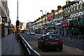
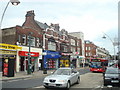
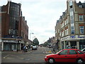
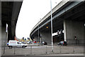
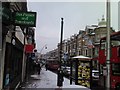
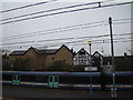
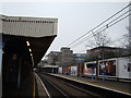
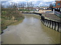
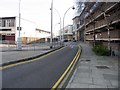
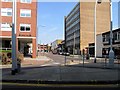
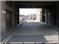
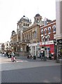
100 photos from this area
Area Information
Key information about the IG1 3BS including its size, population, and administrative classification.
- Area Type
- Postcode
- Area Size
- 1.3 hectares
- Population
- 2047
- Population Density
- 5671 people/km²
House Prices in IG1 3BS
68
Properties
£240,839
Average Sold Price
£55,250
Lowest Price
£630,000
Highest Price
Showing 68 properties
| Address | Type | Beds | Baths | Last Sale Price | Last Sale Date | |
|---|---|---|---|---|---|---|
| 50C Northbrook Road, Ilford, IG1 3BS | Flat | 2 | - | £325,000 | Oct 2023 | |
| 50B Northbrook Road, Ilford, IG1 3BS | Flat | 1 | 1 | £260,000 | Sep 2021 | |
| 26 Northbrook Road, Ilford, IG1 3BS | house | - | - | £630,000 | Jul 2020 | |
| 50A Northbrook Road, Ilford, IG1 3BS | Flat | - | - | £234,000 | Apr 2020 | |
| 46D Northbrook Road, Ilford, IG1 3BS | Flat | - | - | £110,000 | Oct 2013 | |
| 46B Northbrook Road, Ilford, IG1 3BS | Flat | - | - | £130,000 | Aug 2013 | |
| 16 Northbrook Road, Ilford, IG1 3BS | Terraced | 4 | - | £390,000 | May 2013 | |
| 40 Northbrook Road, Ilford, IG1 3BS | house | - | - | £387,500 | Dec 2012 | |
| 12 Northbrook Road, Ilford, IG1 3BS | house | - | - | £399,995 | Jan 2011 | |
| 6 Northbrook Road, Ilford, IG1 3BS | Flat | - | - | £136,000 | Sep 2007 |
Page 1 of 7
Energy Efficiency in IG1 3BS
Amenities
Schools
| Rank | School | Type | Entry gender | Ages |
|---|
Explore more schools in this area
Go to Schools tabDemographics
Household Size
Family (3-5 people)
most common
Accommodation Type
Flats
most common
Tenure
30
majority
Ethnic Group
asian_total
most common
Religion
N/A
most common
Household Composition
N/A
most common
Age
47
median
Adults (30-64 years)
most common
Household Deprivation
N/A
with no deprivation
NS-SEC
25
in Lower managerial occupations
Explore more demographic insights in this area
Go to Demographics tabPlanning
Planning Constraints
- Flood RiskPremium
- Ramsar Wetland SitesPremium
- Area of Outstanding Natural BeautyPremium
- Protected Nature ReservePremium
- Protected WoodlandPremium