Area Overview for IG1 3AW
Photos of IG1 3AW
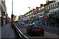
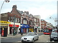
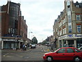
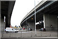
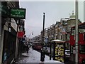
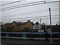
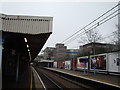
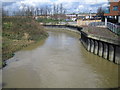
100 photos from this area
Area Information
Key information about the IG1 3AW including its size, population, and administrative classification.
- Area Type
- Postcode
- Area Size
- 1.7 hectares
- Population
- 2047
- Population Density
- 5671 people/km²
House Prices in IG1 3AW
83
Properties
£242,950
Average Sold Price
£35,600
Lowest Price
£921,000
Highest Price
Showing 83 properties
| Address | Type | Beds | Baths | Last Sale Price | Last Sale Date | |
|---|---|---|---|---|---|---|
| 32D Belgrave Road, Ilford, IG1 3AW | Flat | - | - | £212,000 | Jul 2022 | |
| 26 Belgrave Road, Ilford, IG1 3AW | Terraced | 6 | 5 | £921,000 | Mar 2022 | |
| 22 Belgrave Road, Ilford, IG1 3AW | house | - | - | £725,000 | Jun 2018 | |
| 32B Belgrave Road, Ilford, IG1 3AW | Flat | - | - | £170,000 | Feb 2016 | |
| 32A Belgrave Road, Ilford, IG1 3AW | Flat | - | - | £138,500 | Sep 2014 | |
| 5 Belgrave Road, Ilford, IG1 3AW | house | - | - | £445,000 | Dec 2013 | |
| 7 Belgrave Road, Ilford, IG1 3AW | house | - | - | £415,000 | May 2013 | |
| 31A Belgrave Road, Ilford, IG1 3AW | Flat | - | - | £122,500 | Sep 2010 | |
| 31B Belgrave Road, Ilford, IG1 3AW | Flat | - | - | £100,000 | Mar 2009 | |
| 6 Belgrave Road, Ilford, IG1 3AW | house | - | - | £515,000 | Apr 2008 |
Page 1 of 9
Energy Efficiency in IG1 3AW
Amenities
Schools
| Rank | School | Type | Entry gender | Ages |
|---|
Explore more schools in this area
Go to Schools tabDemographics
Household Size
Family (3-5 people)
most common
Accommodation Type
Flats
most common
Tenure
30
majority
Ethnic Group
asian_total
most common
Religion
N/A
most common
Household Composition
N/A
most common
Age
47
median
Adults (30-64 years)
most common
Household Deprivation
N/A
with no deprivation
NS-SEC
25
in Lower managerial occupations
Explore more demographic insights in this area
Go to Demographics tabPlanning
Planning Constraints
- Flood RiskPremium
- Ramsar Wetland SitesPremium
- Area of Outstanding Natural BeautyPremium
- Protected Nature ReservePremium
- Protected WoodlandPremium