Area Overview for IG1 1EU
Photos of IG1 1EU
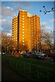

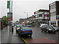
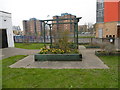
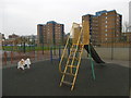
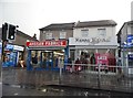
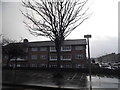
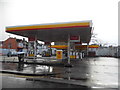

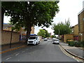
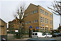
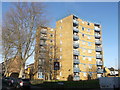
39 photos from this area
Area Information
Key information about the IG1 1EU including its size, population, and administrative classification.
- Area Type
- Postcode
- Area Size
- 1.3 hectares
- Population
- 2231
- Population Density
- 8985 people/km²
House Prices in IG1 1EU
63
Properties
£233,283
Average Sold Price
£51,500
Lowest Price
£485,000
Highest Price
Showing 63 properties
| Address | Type | Beds | Baths | Last Sale Price | Last Sale Date | |
|---|---|---|---|---|---|---|
| 44 Grange Road, Ilford, IG1 1EU | house | - | - | £470,000 | Dec 2023 | |
| 41 Grange Road, Ilford, IG1 1EU | Terraced | 3 | 2 | £485,000 | Oct 2022 | |
| 33 Grange Road, Ilford, IG1 1EU | Retail | 3 | 1 | £445,000 | Oct 2022 | |
| 23 Grange Road, Ilford, IG1 1EU | Terraced | 4 | 1 | £435,000 | Sep 2021 | |
| 49 Grange Road, Ilford, IG1 1EU | house | - | - | £445,500 | Jul 2021 | |
| 47 Grange Road, Ilford, IG1 1EU | house | - | - | £382,000 | Jan 2018 | |
| 15 Grange Road, Ilford, IG1 1EU | house | - | - | £300,000 | Jun 2017 | |
| 32 Grange Road, Ilford, IG1 1EU | Terraced | 3 | 1 | £370,000 | Feb 2017 | |
| 28 Grange Road, Ilford, IG1 1EU | Terraced | 3 | 1 | £386,000 | Aug 2016 | |
| 46 Grange Road, Ilford, IG1 1EU | house | - | - | £382,000 | Aug 2016 |
Page 1 of 7
Energy Efficiency in IG1 1EU
Amenities
Schools
| Rank | School | Type | Entry gender | Ages |
|---|
Explore more schools in this area
Go to Schools tabDemographics
Household Size
Family (3-5 people)
most common
Accommodation Type
Flats
most common
Tenure
29
majority
Ethnic Group
asian_total
most common
Religion
N/A
most common
Household Composition
N/A
most common
Age
47
median
Adults (30-64 years)
most common
Household Deprivation
N/A
with no deprivation
NS-SEC
28
in Lower managerial occupations
Explore more demographic insights in this area
Go to Demographics tabPlanning
Planning Constraints
- Flood RiskPremium
- Ramsar Wetland SitesPremium
- Area of Outstanding Natural BeautyPremium
- Protected Nature ReservePremium
- Protected WoodlandPremium