Area Overview for Hayes Town Ward
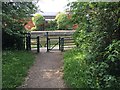
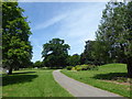
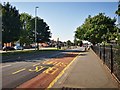
Photos of Hayes Town Ward

Area Information
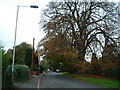
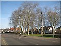
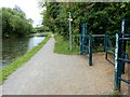
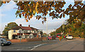
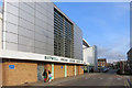
Hayes Town Ward is a compact district within the London Borough of Hillingdon that covers an area of 3.8 square kilometres. This small footprint supports a population of 2,075 residents, creating a relatively dense neighbourhood with 540 people per square kilometre. The ward encompasses the historic Hayes Town area, which historically formed part of the hamlet of Botwell and the stretch of Church Road around St Mary's Church. Today, the name applies more broadly to the area surrounding Station Road and the Hayes & Harlington railway station. Hayes itself evolved from five originally separate villages, including Hayes End and Wood End, transforming from rural settlements into a significant industrial centre during the 19th and 20th centuries. Key historical sites include the Grade II* listed Parish Church of St Mary's, which has origins dating to the twelfth century, and Barra Hall, which served as the town hall from 1924 to 1979. The modern landscape retains a richly varied townscape featuring buildings from the medieval period through to the twentieth century. You will find modern residential properties mixed with diverse commercial activities and leisure facilities. Living here offers proximity to the Grand Junction Canal, established in 1796, and the Great Western Railway, which has served the region since 1838.
- Area Type
- District Borough Unitary Ward
- Area Size
- 3.8 km²
- Population
- 2075
- Population Density
- 540 people/km²
Demographics
The community in Hayes Town Ward reflects a mature demographic profile with a median age of 70 years. This indicates that the population consists largely of older residents who have lived in the area for an extended period. With a total population of 2,075, the ward contains a relatively small group of people compared to typical London borough wards. Home ownership stands at 38 per cent, meaning that more than two out of three households are likely rented rather than owned outright. This low ownership rate suggests a significant proportion of young professionals, students, or families reliant on private rental sectors within the ward. The specific breakdown of household composition and accommodation types is not detailed in current records, but the high rental engagement is clear from the ownership figure. Income and deprivation data are not included in the available information, so you cannot assess financial stratification directly from current statistics. However, the old age profile suggests a community where many residents may rely on pensions or retirement income. The criminal activity score registers at 36 out of 100, indicating a medium level of crime risk where standard security precautions remain advisable. This figure places the area near average levels for its environs, though buyers should consider local policing advice.
Household Size
Accommodation Type
Tenure
Ethnic Group
Religion
Household Composition
Age
Household Deprivation
NS-SEC
Explore more demographic insights in this area
Go to Demographics tabPlanning
Planning Constraints
- Flood RiskPremium
- Ramsar Wetland SitesPremium
- Area of Outstanding Natural BeautyPremium
- Protected Nature ReservePremium
- Protected WoodlandPremium
- Crime RiskPremium