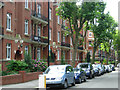
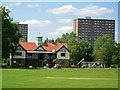
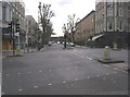
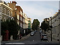
Area Overview for Harrow Road Ward
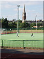
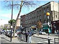
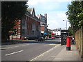
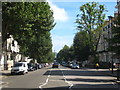
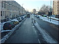
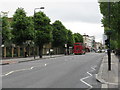
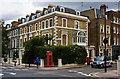
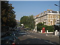
Photos of Harrow Road Ward
Area Information
Living in Harrow Road Ward means residing in a compact district borough unitary ward covering 49.5 hectares. This small footprint supports a population of 1,902 residents, creating an environment where neighbours are likely to be neighbours. The area is defined by its density, with 3,842 people living per square kilometre. This concentration of people within a limited geographical space shapes daily life significantly. You will experience a neighbourhood where community interactions happen frequently due to the sheer proximity of houses. The ward sits within the broader context of Harrow, maintaining its own distinct character while remaining part of the local borough structure. Prospective buyers must understand that this is a high-density residential zone. The land area is limited, which typically influences the type of housing available and the street layout. You are buying into a tightly knit community where distance to essential services can be short. The demographic profile suggests a specific kind of neighbourhood atmosphere, heavily influenced by the age of the current population. Understanding these physical constraints is vital for anyone considering homes in Harrow Road Ward. The area offers a focused living experience where local amenities are often within immediate walking distance.
- Area Type
- District Borough Unitary Ward
- Area Size
- 49.5 hectares
- Population
- 1902
- Population Density
- 3842 people/km²
Demographics
The community in Harrow Road Ward presents a distinct profile, with a median age of 70 years old. This figure indicates that the ward is dominated by older residents, likely reflecting a settlement where many families have built long-term lives. The most common age range reflects this trend, shaping the social fabric and potential demand for specific community services. A population this age often correlates with lower birth rates and a steady demographic drift. Home ownership stands at 23% of all households. This low percentage suggests that the majority of residents rent their properties rather than own them outright. This is a critical factor for those evaluating the local market dynamics. With nearly three-quarters of households being rented, the area operates differently from typical family-oriented owner-occupied suburbs. The household composition and accommodation types further illustrate the transient or non-ownership nature of the living arrangements. You should expect a community where lease agreements play a larger role in stability than mortgages do.
Household Size
Accommodation Type
Tenure
Ethnic Group
Religion
Household Composition
Age
Household Deprivation
NS-SEC
Explore more demographic insights in this area
Go to Demographics tabPlanning
Planning Constraints
- Flood RiskPremium
- Ramsar Wetland SitesPremium
- Area of Outstanding Natural BeautyPremium
- Protected Nature ReservePremium
- Protected WoodlandPremium
- Crime RiskPremium