Area Overview for HA9 7PA
Photos of HA9 7PA
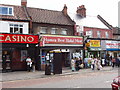
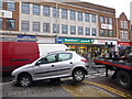
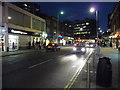
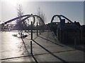
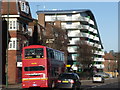
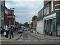
100 photos from this area
Area Information
Key information about the HA9 7PA including its size, population, and administrative classification.
- Area Type
- Postcode
- Area Size
- 1.1 hectares
- Population
- 1546
- Population Density
- 11589 people/km²
House Prices in HA9 7PA
33
Properties
£314,381
Average Sold Price
£59,900
Lowest Price
£730,000
Highest Price
Showing 33 properties
| Address | Type | Beds | Baths | Last Sale Price | Last Sale Date | |
|---|---|---|---|---|---|---|
| 51 Rosslyn Crescent, Wembley, HA9 7PA | Retail | 4 | 2 | £720,000 | Oct 2022 | |
| 72 Rosslyn Crescent, Wembley, HA9 7PA | Retail | 3 | 1 | £730,000 | May 2022 | |
| 29 Rosslyn Crescent, Wembley, HA9 7PA | house | 5 | - | £610,000 | Aug 2021 | |
| 33 Rosslyn Crescent, Wembley, HA9 7PA | Semi-detached | 3 | 2 | £500,000 | Dec 2019 | |
| 62 Rosslyn Crescent, Wembley, HA9 7PA | Semi-detached | 3 | - | £561,500 | Jan 2019 | |
| 42 Rosslyn Crescent, Wembley, HA9 7PA | Semi-detached | 3 | 1 | £535,000 | May 2018 | |
| 44A Rosslyn Crescent, Wembley, HA9 7PA | Maisonette | 1 | - | £172,000 | Mar 2014 | |
| 45 Rosslyn Crescent, Wembley, HA9 7PA | house | - | - | £270,000 | Nov 2008 | |
| 44 Rosslyn Crescent, Wembley, HA9 7PA | Maisonette | 2 | 2 | £152,000 | Jul 2004 | |
| 37 Rosslyn Crescent, Wembley, HA9 7PA | Semi-detached | - | - | £248,000 | Jun 2003 |
Page 1 of 4
Energy Efficiency in HA9 7PA
Amenities
Schools
| Rank | School | Type | Entry gender | Ages |
|---|
Explore more schools in this area
Go to Schools tabDemographics
Household Size
Family (3-5 people)
most common
Accommodation Type
Houses
most common
Tenure
52
majority
Ethnic Group
asian_total
most common
Religion
N/A
most common
Household Composition
N/A
most common
Age
47
median
Adults (30-64 years)
most common
Household Deprivation
N/A
with no deprivation
NS-SEC
24
in Lower managerial occupations
Explore more demographic insights in this area
Go to Demographics tabPlanning
Planning Constraints
- Flood RiskPremium
- Ramsar Wetland SitesPremium
- Area of Outstanding Natural BeautyPremium
- Protected Nature ReservePremium
- Protected WoodlandPremium