Area Overview for HA8 0DF
Photos of HA8 0DF
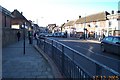
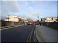
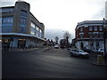
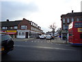
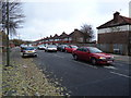
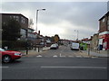
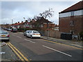
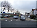
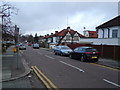
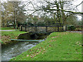
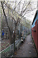
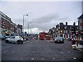
81 photos from this area
Area Information
Key information about the HA8 0DF including its size, population, and administrative classification.
- Area Type
- Postcode
- Area Size
- 6.6 hectares
- Population
- 2049
- Population Density
- 8302 people/km²
House Prices in HA8 0DF
55
Properties
£270,142
Average Sold Price
£57,250
Lowest Price
£492,000
Highest Price
Showing 55 properties
| Address | Type | Beds | Baths | Last Sale Price | Last Sale Date | |
|---|---|---|---|---|---|---|
| 7 Playfield Road, Edgware, HA8 0DF | Terraced | 3 | 1 | £492,000 | Mar 2024 | |
| 48 Playfield Road, Edgware, HA8 0DF | house | - | - | £485,000 | Jul 2022 | |
| 32 Playfield Road, Edgware, HA8 0DF | Semi-detached | 4 | 1 | £410,000 | May 2022 | |
| 78 Playfield Road, Edgware, HA8 0DF | Terraced | 2 | 1 | £275,000 | Oct 2020 | |
| 20 Playfield Road, Edgware, HA8 0DF | Terraced | 3 | 1 | £432,000 | Jun 2019 | |
| 82 Playfield Road, Edgware, HA8 0DF | house | - | - | £470,000 | Mar 2016 | |
| 15 Playfield Road, Edgware, HA8 0DF | Terraced | 2 | 1 | £350,000 | Dec 2015 | |
| 2 Playfield Road, Edgware, HA8 0DF | Terraced | 3 | 1 | £350,000 | Feb 2015 | |
| 16 Playfield Road, Edgware, HA8 0DF | Terraced | 2 | - | £310,000 | Dec 2014 | |
| 18 Playfield Road, Edgware, HA8 0DF | Terraced | 2 | - | £272,000 | Oct 2013 |
Page 1 of 6
Energy Efficiency in HA8 0DF
Amenities
Schools
| Rank | School | Type | Entry gender | Ages |
|---|
Explore more schools in this area
Go to Schools tabDemographics
Household Size
Family (3-5 people)
most common
Accommodation Type
Houses
most common
Tenure
49
majority
Ethnic Group
White
most common
Religion
N/A
most common
Household Composition
N/A
most common
Age
47
median
Adults (30-64 years)
most common
Household Deprivation
N/A
with no deprivation
NS-SEC
22
in Lower managerial occupations
Explore more demographic insights in this area
Go to Demographics tabPlanning
Planning Constraints
- Flood RiskPremium
- Ramsar Wetland SitesPremium
- Area of Outstanding Natural BeautyPremium
- Protected Nature ReservePremium
- Protected WoodlandPremium