Area Overview for HA8 0AS
Photos of HA8 0AS
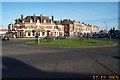
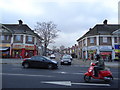
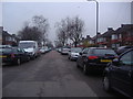
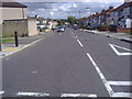
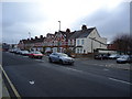
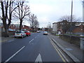
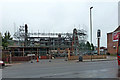
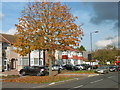
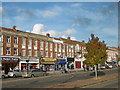
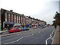
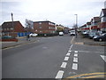
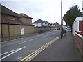
34 photos from this area
Area Information
Key information about the HA8 0AS including its size, population, and administrative classification.
- Area Type
- Postcode
- Area Size
- 5729 m²
- Population
- 1529
- Population Density
- 9527 people/km²
House Prices in HA8 0AS
41
Properties
£116,500
Average Sold Price
£42,000
Lowest Price
£200,000
Highest Price
Showing 41 properties
| Address | Type | Beds | Baths | Last Sale Price | Last Sale Date | |
|---|---|---|---|---|---|---|
| 186A Burnt Oak Broadway, Edgware, HA8 0AS | Maisonette | 5 | 2 | £200,000 | Feb 2024 | |
| 184A Burnt Oak Broadway, Edgware, HA8 0AS | Flat | - | - | £140,000 | Jan 2006 | |
| 188A Burnt Oak Broadway, Edgware, HA8 0AS | Flat | - | - | £84,000 | Oct 1999 | |
| 192A Burnt Oak Broadway, Edgware, HA8 0AS | Flat | 3 | 1 | £42,000 | Apr 1997 | |
| 192B Burnt Oak Broadway, Edgware, HA8 0AS | Flat | - | - | - | - | |
| 190A Burnt Oak Broadway, Edgware, HA8 0AS | Flat | 4 | 1 | - | - | |
| 198A Burnt Oak Broadway, Edgware, HA8 0AS | Flat | - | - | - | - | |
| Iroko Restaurant, 194-196 Burnt Oak Broadway, Edgware, HA8 0AS | Retail | - | - | - | - | |
| 194A Burnt Oak Broadway, Edgware, HA8 0AS | Flat | - | - | - | - | |
| 196A Burnt Oak Broadway, Edgware, HA8 0AS | Maisonette | - | - | - | - |
Page 1 of 5
Energy Efficiency in HA8 0AS
Amenities
Schools
| Rank | School | Type | Entry gender | Ages |
|---|
Explore more schools in this area
Go to Schools tabDemographics
Household Size
Family (3-5 people)
most common
Accommodation Type
Flats
most common
Tenure
21
majority
Ethnic Group
White
most common
Religion
N/A
most common
Household Composition
N/A
most common
Age
47
median
Adults (30-64 years)
most common
Household Deprivation
N/A
with no deprivation
NS-SEC
21
in Lower managerial occupations
Explore more demographic insights in this area
Go to Demographics tabPlanning
Planning Constraints
- Flood RiskPremium
- Ramsar Wetland SitesPremium
- Area of Outstanding Natural BeautyPremium
- Protected Nature ReservePremium
- Protected WoodlandPremium