Area Overview for HA7 4JG
Photos of HA7 4JG
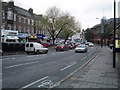

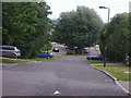
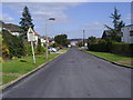

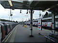
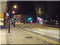
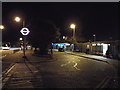
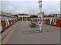
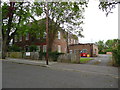
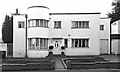
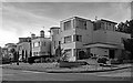
100 photos from this area
Area Information
Key information about the HA7 4JG including its size, population, and administrative classification.
- Area Type
- Postcode
- Area Size
- 9475 m²
- Population
- 2623
- Population Density
- 4303 people/km²
House Prices in HA7 4JG
16
Properties
£279,627
Average Sold Price
£130,000
Lowest Price
£408,000
Highest Price
Showing 16 properties
| Address | Type | Beds | Baths | Last Sale Price | Last Sale Date | |
|---|---|---|---|---|---|---|
| 11 Dennis Gardens, Stanmore, HA7 4JG | Flat | 2 | 1 | £405,000 | May 2024 | |
| 16 Dennis Gardens, Stanmore, HA7 4JG | Maisonette | 2 | 1 | £250,000 | Mar 2023 | |
| 17 Dennis Gardens, Stanmore, HA7 4JG | Maisonette | 2 | 1 | £392,500 | Sep 2019 | |
| 2 Dennis Gardens, Stanmore, HA7 4JG | Flat | 2 | 1 | £408,000 | Jul 2019 | |
| 9 Dennis Gardens, Stanmore, HA7 4JG | Flat | 2 | 1 | £362,000 | Jun 2018 | |
| 4 Dennis Gardens, Stanmore, HA7 4JG | Maisonette | - | - | £282,000 | Aug 2013 | |
| 5 Dennis Gardens, Stanmore, HA7 4JG | Maisonette | - | - | £245,000 | Mar 2012 | |
| 7 Dennis Gardens, Stanmore, HA7 4JG | Maisonette | 2 | - | £245,000 | Feb 2008 | |
| 3 Dennis Gardens, Stanmore, HA7 4JG | Maisonette | 2 | 1 | £267,500 | Aug 2007 | |
| 12 Dennis Gardens, Stanmore, HA7 4JG | Flat | - | - | £225,000 | Jul 2007 |
Page 1 of 2
Energy Efficiency in HA7 4JG
Amenities
Schools
| Rank | School | Type | Entry gender | Ages |
|---|
Explore more schools in this area
Go to Schools tabDemographics
Household Size
One person
most common
Accommodation Type
Flats
most common
Tenure
61
majority
Ethnic Group
White
most common
Religion
N/A
most common
Household Composition
N/A
most common
Age
47
median
Adults (30-64 years)
most common
Household Deprivation
N/A
with no deprivation
NS-SEC
40
in Lower managerial occupations
Explore more demographic insights in this area
Go to Demographics tabPlanning
Planning Constraints
- Flood RiskPremium
- Ramsar Wetland SitesPremium
- Area of Outstanding Natural BeautyPremium
- Protected Nature ReservePremium
- Protected WoodlandPremium