Area Overview for HA7 3QZ
Photos of HA7 3QZ
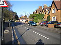
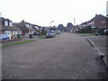
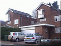
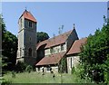
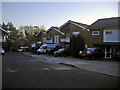
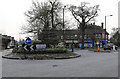
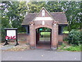
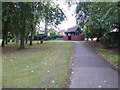
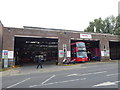
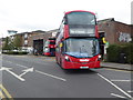
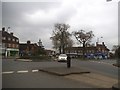
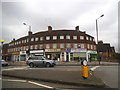
43 photos from this area
Area Information
Key information about the HA7 3QZ including its size, population, and administrative classification.
- Area Type
- Postcode
- Area Size
- 9488 m²
- Population
- 1838
- Population Density
- 4274 people/km²
House Prices in HA7 3QZ
24
Properties
£469,747
Average Sold Price
£35,000
Lowest Price
£1,390,000
Highest Price
Showing 24 properties
| Address | Type | Beds | Baths | Last Sale Price | Last Sale Date | |
|---|---|---|---|---|---|---|
| 18 Chartley Avenue, Stanmore, HA7 3QZ | Detached | 5 | 2 | £870,000 | Dec 2025 | |
| 36 Chartley Avenue, Stanmore, HA7 3QZ | Bungalow | 3 | 2 | £645,000 | Mar 2025 | |
| 44 Chartley Avenue, Stanmore, HA7 3QZ | Detached | 5 | 3 | £1,390,000 | Aug 2023 | |
| 42 Chartley Avenue, Stanmore, HA7 3QZ | house | 3 | 2 | £720,000 | Mar 2022 | |
| 20 Chartley Avenue, Stanmore, HA7 3QZ | house | 3 | - | £937,500 | Oct 2021 | |
| 46 Chartley Avenue, Stanmore, HA7 3QZ | Detached | 4 | 2 | £835,000 | Jan 2016 | |
| 2 Chartley Avenue, Stanmore, HA7 3QZ | Bungalow | 3 | 2 | £450,000 | Jul 2012 | |
| 24 Chartley Avenue, Stanmore, HA7 3QZ | Bungalow | 2 | - | £365,000 | Nov 2011 | |
| 12 Chartley Avenue, Stanmore, HA7 3QZ | Flat | - | - | £207,000 | Sep 2010 | |
| 6 Chartley Avenue, Stanmore, HA7 3QZ | house | - | - | £335,000 | Dec 2009 |
Page 1 of 3
Energy Efficiency in HA7 3QZ
Amenities
Schools
| Rank | School | Type | Entry gender | Ages |
|---|
Explore more schools in this area
Go to Schools tabDemographics
Household Size
Family (3-5 people)
most common
Accommodation Type
Houses
most common
Tenure
83
majority
Ethnic Group
asian_total
most common
Religion
N/A
most common
Household Composition
N/A
most common
Age
47
median
Adults (30-64 years)
most common
Household Deprivation
N/A
with no deprivation
NS-SEC
42
in Lower managerial occupations
Explore more demographic insights in this area
Go to Demographics tabPlanning
Planning Constraints
- Flood RiskPremium
- Ramsar Wetland SitesPremium
- Area of Outstanding Natural BeautyPremium
- Protected Nature ReservePremium
- Protected WoodlandPremium