Area Overview for HA7 3AD
Photos of HA7 3AD
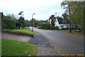

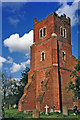
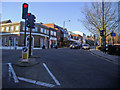
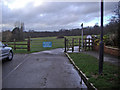

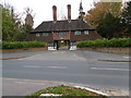
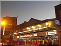
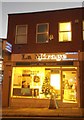
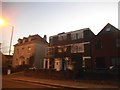
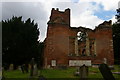
86 photos from this area
Area Information
Key information about the HA7 3AD including its size, population, and administrative classification.
- Area Type
- Postcode
- Area Size
- 7297 m²
- Population
- 2623
- Population Density
- 4303 people/km²
House Prices in HA7 3AD
9
Properties
£794,150
Average Sold Price
£163,000
Lowest Price
£1,405,000
Highest Price
Showing 9 properties
| Address | Type | Beds | Baths | Last Sale Price | Last Sale Date | |
|---|---|---|---|---|---|---|
| 111 Green Lane, Stanmore, HA7 3AD | Detached | 5 | 3 | £1,325,000 | Nov 2023 | |
| 113 Green Lane, Stanmore, HA7 3AD | Detached | 5 | 2 | £1,405,000 | Sep 2022 | |
| 107 Green Lane, Stanmore, HA7 3AD | house | - | - | £1,238,700 | Mar 2021 | |
| 109 Green Lane, Stanmore, HA7 3AD | Detached | 4 | - | £846,500 | Mar 2016 | |
| 101 Green Lane, Stanmore, HA7 3AD | Detached | 5 | 2 | £685,000 | Jun 2006 | |
| 115 Green Lane, Stanmore, HA7 3AD | house | 4 | - | £420,000 | Jan 2001 | |
| 117 Green Lane, Stanmore, HA7 3AD | Detached | - | - | £270,000 | Aug 1998 | |
| 105 Green Lane, Stanmore, HA7 3AD | Detached | 4 | 2 | £163,000 | Apr 1995 | |
| 103 Green Lane, Stanmore, HA7 3AD | Detached | 5 | - | - | - |
Energy Efficiency in HA7 3AD
Amenities
Schools
| Rank | School | Type | Entry gender | Ages |
|---|
Explore more schools in this area
Go to Schools tabDemographics
Household Size
One person
most common
Accommodation Type
Flats
most common
Tenure
61
majority
Ethnic Group
White
most common
Religion
N/A
most common
Household Composition
N/A
most common
Age
47
median
Adults (30-64 years)
most common
Household Deprivation
N/A
with no deprivation
NS-SEC
40
in Lower managerial occupations
Explore more demographic insights in this area
Go to Demographics tabPlanning
Planning Constraints
- Flood RiskPremium
- Ramsar Wetland SitesPremium
- Area of Outstanding Natural BeautyPremium
- Protected Nature ReservePremium
- Protected WoodlandPremium