Area Overview for HA7 2PA
Photos of HA7 2PA
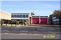
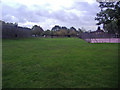
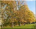
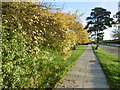
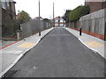
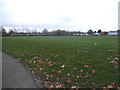
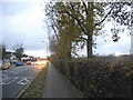
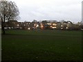
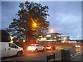
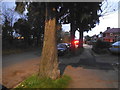

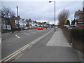
47 photos from this area
Area Information
Key information about the HA7 2PA including its size, population, and administrative classification.
- Area Type
- Postcode
- Area Size
- 5289 m²
- Population
- 1664
- Population Density
- 6834 people/km²
House Prices in HA7 2PA
13
Properties
£469,100
Average Sold Price
£200,000
Lowest Price
£900,000
Highest Price
Showing 13 properties
| Address | Type | Beds | Baths | Last Sale Price | Last Sale Date | |
|---|---|---|---|---|---|---|
| 103 Crowshott Avenue, Stanmore, HA7 2PA | Detached | 5 | 2 | £900,000 | Aug 2025 | |
| 109 Crowshott Avenue, Stanmore, HA7 2PA | Semi-detached | 3 | 1 | £600,000 | Apr 2023 | |
| 97 Crowshott Avenue, Stanmore, HA7 2PA | Retail | 4 | 1 | £765,000 | Aug 2022 | |
| 91 Crowshott Avenue, Stanmore, HA7 2PA | Terraced | - | - | £261,000 | Aug 2016 | |
| 105 Crowshott Avenue, Stanmore, HA7 2PA | Semi-detached | 4 | 3 | £677,000 | Mar 2016 | |
| 89 Crowshott Avenue, Stanmore, HA7 2PA | house | 3 | - | £345,000 | Jun 2011 | |
| 101 Crowshott Avenue, Stanmore, HA7 2PA | Terraced | - | - | £359,000 | Jun 2004 | |
| 93 Crowshott Avenue, Stanmore, HA7 2PA | house | - | - | £335,000 | Apr 2004 | |
| 107 Crowshott Avenue, Stanmore, HA7 2PA | house | - | - | £249,000 | Oct 2003 | |
| 95 Crowshott Avenue, Stanmore, HA7 2PA | Terraced | 4 | - | £200,000 | May 2000 |
Page 1 of 2
Energy Efficiency in HA7 2PA
Amenities
Schools
| Rank | School | Type | Entry gender | Ages |
|---|
Explore more schools in this area
Go to Schools tabDemographics
Household Size
Family (3-5 people)
most common
Accommodation Type
Houses
most common
Tenure
78
majority
Ethnic Group
asian_total
most common
Religion
N/A
most common
Household Composition
N/A
most common
Age
47
median
Adults (30-64 years)
most common
Household Deprivation
N/A
with no deprivation
NS-SEC
39
in Lower managerial occupations
Explore more demographic insights in this area
Go to Demographics tabPlanning
Planning Constraints
- Flood RiskPremium
- Ramsar Wetland SitesPremium
- Area of Outstanding Natural BeautyPremium
- Protected Nature ReservePremium
- Protected WoodlandPremium