Area Overview for HA7 1DJ
Photos of HA7 1DJ


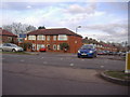
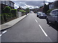
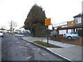
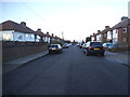
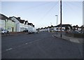
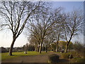

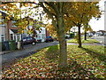
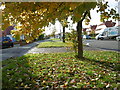
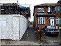
57 photos from this area
Area Information
Key information about the HA7 1DJ including its size, population, and administrative classification.
- Area Type
- Postcode
- Area Size
- 1.5 hectares
- Population
- 1811
- Population Density
- 6498 people/km²
House Prices in HA7 1DJ
42
Properties
£359,724
Average Sold Price
£105,000
Lowest Price
£699,950
Highest Price
Showing 42 properties
| Address | Type | Beds | Baths | Last Sale Price | Last Sale Date | |
|---|---|---|---|---|---|---|
| 45 Taunton Way, Stanmore, HA7 1DJ | Semi-detached | 5 | 2 | £650,000 | Jul 2024 | |
| 3 Taunton Way, Stanmore, HA7 1DJ | Semi-detached | 3 | 1 | £510,000 | May 2023 | |
| 69 Taunton Way, Stanmore, HA7 1DJ | Semi-detached | 5 | 2 | £699,950 | Dec 2022 | |
| 65 Taunton Way, Stanmore, HA7 1DJ | house | - | - | £620,000 | Sep 2021 | |
| 73 Taunton Way, Stanmore, HA7 1DJ | house | - | - | £506,000 | Feb 2021 | |
| 49 Taunton Way, Stanmore, HA7 1DJ | Semi-detached | 3 | 2 | £499,000 | Aug 2019 | |
| 71 Taunton Way, Stanmore, HA7 1DJ | Terraced | 3 | 2 | £510,000 | Jun 2015 | |
| 53 Taunton Way, Stanmore, HA7 1DJ | Semi-detached | 3 | 2 | £500,000 | Jun 2015 | |
| 9 Taunton Way, Stanmore, HA7 1DJ | Semi-detached | 3 | - | £393,000 | Nov 2014 | |
| 11 Taunton Way, Stanmore, HA7 1DJ | house | 3 | - | £365,000 | Apr 2014 |
Page 1 of 5
Energy Efficiency in HA7 1DJ
Amenities
Schools
| Rank | School | Type | Entry gender | Ages |
|---|
Explore more schools in this area
Go to Schools tabDemographics
Household Size
Family (3-5 people)
most common
Accommodation Type
Houses
most common
Tenure
59
majority
Ethnic Group
asian_total
most common
Religion
N/A
most common
Household Composition
N/A
most common
Age
47
median
Adults (30-64 years)
most common
Household Deprivation
N/A
with no deprivation
NS-SEC
27
in Lower managerial occupations
Explore more demographic insights in this area
Go to Demographics tabPlanning
Planning Constraints
- Flood RiskPremium
- Ramsar Wetland SitesPremium
- Area of Outstanding Natural BeautyPremium
- Protected Nature ReservePremium
- Protected WoodlandPremium