Area Overview for HA6 2SL
Photos of HA6 2SL

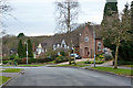
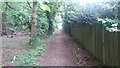
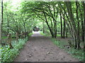
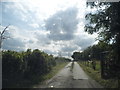
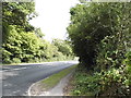
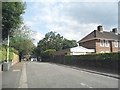
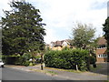
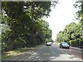
9 photos from this area
Area Information
Key information about the HA6 2SL including its size, population, and administrative classification.
- Area Type
- Postcode
- Area Size
- 3.6 hectares
- Population
- 1682
- Population Density
- 433 people/km²
House Prices in HA6 2SL
31
Properties
£584,259
Average Sold Price
£189,950
Lowest Price
£880,500
Highest Price
Showing 31 properties
| Address | Type | Beds | Baths | Last Sale Price | Last Sale Date | |
|---|---|---|---|---|---|---|
| 14 Drakes Drive, Northwood, HA6 2SL | Detached | 4 | 2 | £842,000 | Oct 2025 | |
| 28 Drakes Drive, Northwood, HA6 2SL | Detached | 4 | 4 | £840,000 | Oct 2022 | |
| 18 Drakes Drive, Northwood, HA6 2SL | house | 4 | 1 | £820,000 | Mar 2022 | |
| 17 Drakes Drive, Northwood, HA6 2SL | Detached | 4 | 2 | £670,000 | Nov 2019 | |
| 1A Drakes Drive, Northwood, HA6 2SL | Semi-detached | 4 | 2 | £600,000 | Jan 2019 | |
| 12 Drakes Drive, Northwood, HA6 2SL | house | 4 | - | £862,000 | Oct 2016 | |
| 26 Drakes Drive, Northwood, HA6 2SL | house | - | - | £880,500 | Mar 2016 | |
| 15 Drakes Drive, Northwood, HA6 2SL | Detached | 3 | 1 | £655,000 | Jul 2015 | |
| 6 Drakes Drive, Northwood, HA6 2SL | Detached | 3 | 2 | £510,000 | Jun 2013 | |
| 19 Drakes Drive, Northwood, HA6 2SL | Detached | 4 | - | £550,000 | Jul 2012 |
Page 1 of 4
Energy Efficiency in HA6 2SL
Amenities
Schools
| Rank | School | Type | Entry gender | Ages |
|---|
Explore more schools in this area
Go to Schools tabDemographics
Household Size
Family (3-5 people)
most common
Accommodation Type
Houses
most common
Tenure
68
majority
Ethnic Group
asian_total
most common
Religion
N/A
most common
Household Composition
N/A
most common
Age
47
median
Adults (30-64 years)
most common
Household Deprivation
N/A
with no deprivation
NS-SEC
52
in Lower managerial occupations
Explore more demographic insights in this area
Go to Demographics tabPlanning
Planning Constraints
- Flood RiskPremium
- Ramsar Wetland SitesPremium
- Area of Outstanding Natural BeautyPremium
- Protected Nature ReservePremium
- Protected WoodlandPremium